After a showery start, Friday will be mostly cloudy, muggy, breezy, and mild. Highs will be in the mid to upper 70s inland, and low to mid 70s near the coast. The wind will be out of the south between 10-25 mph, with the higher gusts near the coast. A few showers, plus drizzle and mist, cannot be ruled out on Friday afternoon.
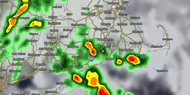
The unsettled pattern continues with another surge of moisture moving in from the Atlantic ocean Friday night into Saturday. More showers and t-storms are likely, and there could be some heavy downpours. It is very difficult in this weather pattern to discern exactly when and where it will rain with a lot of certainty two days out. Therefore, the forecast for Saturday is for occasional showers with the chance of thunderstorms. Hopefully, by Friday evening or Saturday morning we’ll have a better idea if the showers will be steadier in the morning or afternoon. Highs will be in the 70s on Saturday.
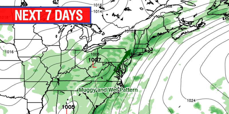
At this point, it looks like there could be a break in the action Saturday night into Sunday morning. Scattered showers are possible Sunday afternoon. You can expect it to be breezy and muggy with highs in the upper 70s to low 80s. The showery weather will continue into next week, with the potential for some steady rain at times between Monday and the 4th of July. There will be long dry stretches between the showers and t-storms, and anyone with outdoor plans should stay updated on the latest forecast.


