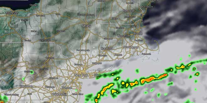
Clouds dominated after heavy rain showers ended by late in the morning in Southern New England on Thursday. Drier air started to move into W MA and W CT by late in the day. The high humidity stuck around in RI and SE MA through the afternoon. It will gradually get a bit less humid inland overnight, with the shower threat ending by midnight, and the breeze swinging around to the northeast. Lows will be in the mid to upper 60s Friday morning.
The good news in the forecast is that Friday and Saturday do not look nearly as showery as they did yesterday. The bad news is that neither day will be spectacular, as clouds will tend to be stubborn. Friday will be a mostly cloudy, less humid day with highs in the 70s – several degrees cooler than normal for a change. There will be a light northeasterly breeze between 5-10 mph. The dew point will fall into the low to mid 60s for the first time in July. There may be a few passing showers near the coast, especially late in the day and Friday night.
Saturday will be partly to mostly cloudy . There may be scattered showers, but it will not be a washout. The wind will swing around to the south allowing the dew point to creep back into the mid to upper 60s by late in the day. Highs will be in the 70s near the coast and low 80s inland.
Sunday looks pretty nice, with a blend of clouds and sunshine, and highs well into the 80s inland. It will be in the upper 70s to low 80s near the coast. A stray afternoon thunderstorm cannot be ruled out, especially away from the coast. Another surge of very warm weather is heading for the Northeast early next week. There is the chance of another inland heat wave between Monday and Thursday. Highs will be in the upper 80s to low 90s, with hazy sunshine and the chance of afternoon t-storms.


