The hardest thing about predicting summertime rain is letting you know when and where it will occur, and how heavy it will be. Other than that, it’s a breeze! Most people want to know if they’ll get caught in a downpour or if their lawn/garden will get watered. Unfortunately, when the pattern produces scattered showers and thunderstorms, the technology of weather forecasting has not evolved to the point that we can determine well ahead of time exactly where the heaviest rain will be and at what time. Instead, we have to paint a daily forecast with a fairly broad brush that mentions the potential for heavy showers.
There is a Flash Flood Watch in effect today for most of SNE. At the end of the day, most of SNE will not see Flash Flooding, but because we do not know where and when the heaviest rain will happen, the Flood Watch is issued for the entire area that could see heavy rain.
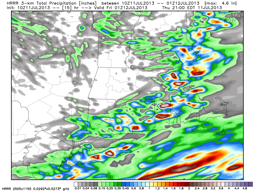
Take a look at this high-resolution computer model rain forecast through 5pm Thursday. While it is highly unlikely that this exact pattern will occur, the idea of 2+” of rain in some spots and next to nothing in others will probably happen. The bottom line is we’re doing our best to let you know where and when it will pour, but in a pattern like this it is impossible to know more than a few hours in advance – sometimes even shorter.


