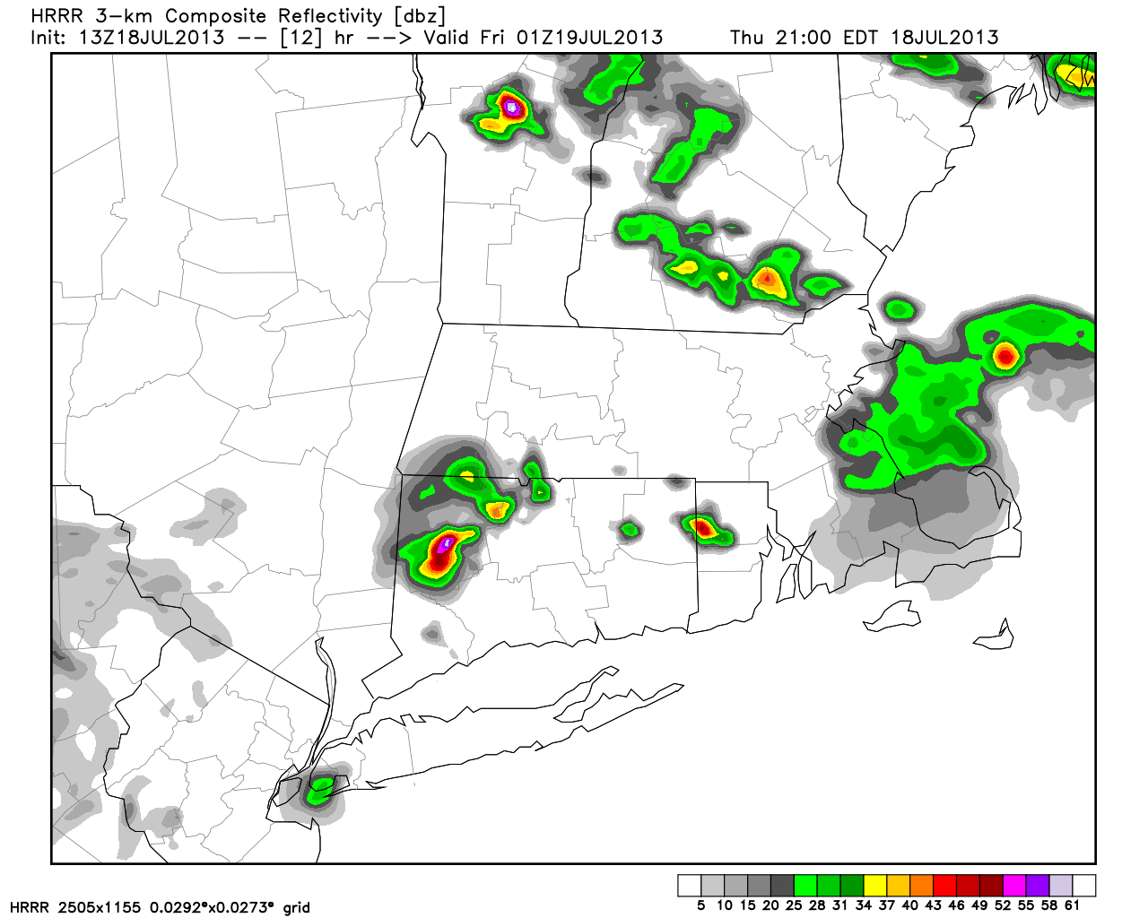
A strong cold front pushing south from Canada into the Northeast will trigger thunderstorms, some of which could be severe, on Saturday. Conditions are ripe for strong/severe storms in the Northeast with an incredibly hot/humid airmass ahead of the front, and a cooler/drier one behind it. While it is no lock that all of Southern New England will see strong/severe storms, the parameters are in place for some to get hit hard. While the greatest threat of severe weather is Saturday, any isolated storms that develop Thursday or Friday could be strong to severe.
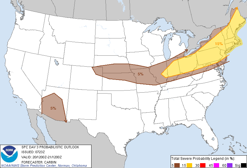
The greatest threats from the storms are strong winds, frequent lightning, torrential rain, and hail. As of Thursday morning, the Storm Prediction Center has all of New England in a 15% chance of severe storms on Saturday. That is actually a fair high percentage given that the threat is still a couple of days away. As Saturday nears, we will fine tune the timing and key locations for severe thunderstorms.