Breaking Weather

Isolated PM t-storms possible ahead of drier air

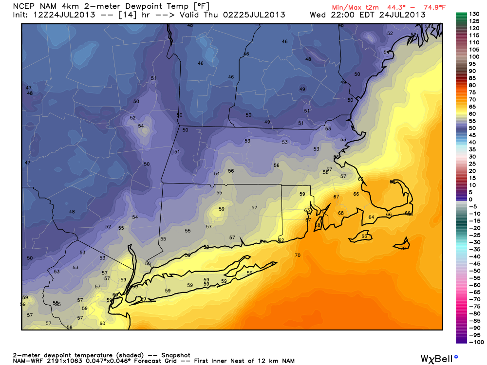
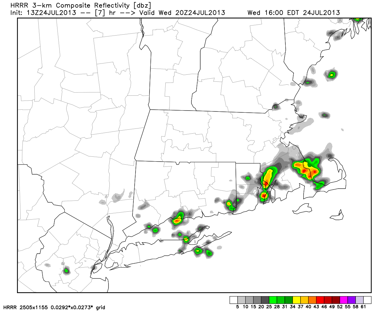
The temperature jumped into the mid 80s by late Wednesday morning in RI and SE MA. The air is still quite humid ahead of a cold front that will be moving through Southern New England Wednesday afternoon and evening. The front may triggered isolated thunderstorms in E CT, RI and SE MA as it approaches. The timeframe for isolated storms is from 12 pm – 10 pm from west to east. Drier air will arrive late Wednesday into Thursday. The weather for late in the workweek looks unsettled as a storm forming off the Southeast coast takes a run at Southern New England.

Short range models show a few t-storms popping up as a cold front passes Wednesday afternoon

Drier air arrives inland late Wednesday. It should reach the coast by Wednesday night.

Fred Campagna

President and Chief Meteorologist - Right Weather LLC AMS Certified Consulting Meteorologist #756 AMS Certified Broadcast Meteorologist #126

Related Articles

Back to top button