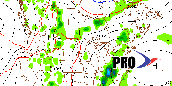
Boy, July is picking up right where June left off with more showers and thunderstorms. This pattern was well anticipated, and Southeastern New England has been spared the worst of it. Flash Flood Warnings have been daily occurrences in Western MA and CT for the past few days. It looks like the pattern will shift to something that more closely resembles mid-summer in the next few days – just in time for the Fourth of July.
High pressure building in from the Atlantic Ocean should help to force the shower threat into the interior Northeast. Look for a very warm to hot and muggy stretch from Wednesday or Thursday into early next week. There may be a hiccup with some t-storms over the weekend as a jet stream disturbance passes by. A heat wave is possible in inland locations.
Looking ahead to next week, there will be a cold front that brings some relief by mid to late week. One concern is that the front will get hung up in the Northeast, renewing a multi-day shower and thunderstorm threat for mid-July. Overall, the pattern is warmer than normal, with near normal rain – but that can be tricky because a single thunderstorm could produce two weeks worth of rain in a couple of hours.


