Long Range Forecast – July 11

The Long Range Forecast in the mid-summer is one of my least favorite forecasts. The jet stream is not particularly strong, and the weather pattern can be fickle. A simple wind shift can mean the difference between highs in the 70s and highs in the 90s. Thunderstorms can drench one area, and leave another rain-free. It can be tough to discern what will happen in the next 24-48 hours, never mind the next 1-2 weeks.
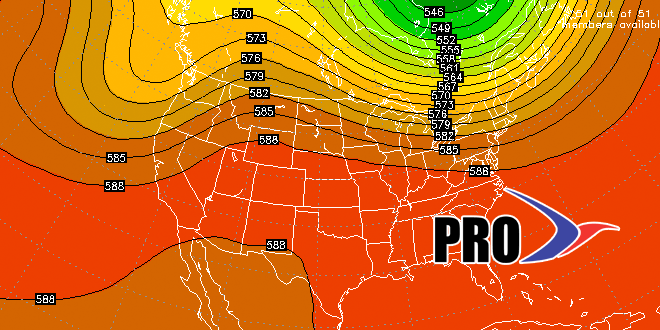
On that note, it looks like we’re heading for another warm stretch in Southern New England during most of next work week. There is the possibility of a heat wave, but the pattern is not as clear as it was in early-July. In the long term, a cold front will likely move through late next week, and a pattern change to less humid may take hold for a little while – wouldn’t that be a welcome sight? Overall, it does not appear that there will be a lot of organized rain in the next two weeks. It will be the typical summertime pattern where showery days are feast or famine.


