Long Range Forecast – July 15

I am spoiled by central air conditioning. Yes, the electric bill makes me cringe, but it’s worth it to sleep restfully and be comfortable during the day. Unfortunately, the A/C is not working right now, and the Right Weather World HQ is 89° during the day. It probably drops to 80° at night. It’s almost enough to make me long for the conditions we had after the blizzard when it was in the 40s because of no heat/electricity. As a result of this stifling heat, the Long Range Forecast video is shot in the dark because any light just adds heat to the room. Turning to the weather now…
The hot stretch, which may be a 7-day heat wave for some in inland Southern New England, will end by late in the weekend. If you watched our summer outlook, this is one thing that we did not see coming. We expected 8-10 90° days in the Providence area. By the end of the week, it will most likely be at least 12. We also expected a more progressive weather pattern that would prevent extended heat waves like this one from occurring. On the positive side, we were expecting a warmer July than June and more rain than normal this summer. A soggy June ensured that.
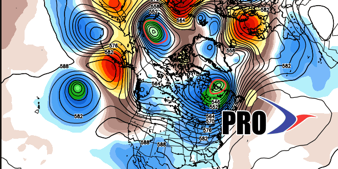
The cold front that finally brings lower humidity (it hasn’t been below 66° at TF Green since June 23) will also come with the threat of gusty thunderstorms to break the heat. The best chance of those occurring is sometime between Saturday afternoon and Sunday morning. The pattern for next week, while not totally clear cut, does not look nearly as hot/humid – or, at least there is not as much extended heat/humidity. The weather looks a lot closer to normal for the final full week of July. By that point, TF Green may be closing in on the warmest July on record dating back to 1905.


