Long Range Forecast – July 18

July 2013 may end up being a record breaker in the Providence area. In 2010, the temperature averaged 77.5° for the entire month. This year, through 18 days, the temperature is averaging 80.1° at TF Green Airport. That will be holding steady or rising a bit through July 21. Basically, the last 10 days of the month need to average about 72° or the record is toast. By the way, that would mean averaging about 2° colder than normal. I’d say there is at least a 50-50 chance that the record is broken.
In the near term, the heat breaks Saturday night into Sunday, but it’s not going to be a very refreshing airmass that arrives on Sunday into Monday. It will be cooler and drier, but we’re not looking at lows in the 50s and highs in the 70s. It will be close to normal – highs in the low to mid 80s, and lows in the low to mid 60s. Keep in mind, the temperature has not fallen below 66° since June 23!
The specifics of the forecast are tricky for next week. Right now, it looks like the best chances for rain are Tuesday and Friday. Extended stretches of very warm or hot weather are not likely in the next two weeks. It’s been a dry month, but there will be some rain to cut into that deficit.
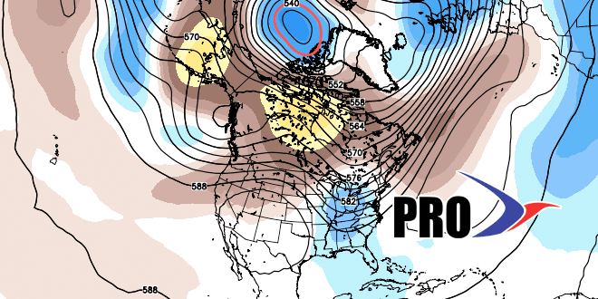
I got a peek at the outlook for early to mid August, and it does not appear that we’ll see another extended stretch of hot weather like we’ve seen in the past couple of weeks. Hooray for that!


