Long Range Forecast – July 22

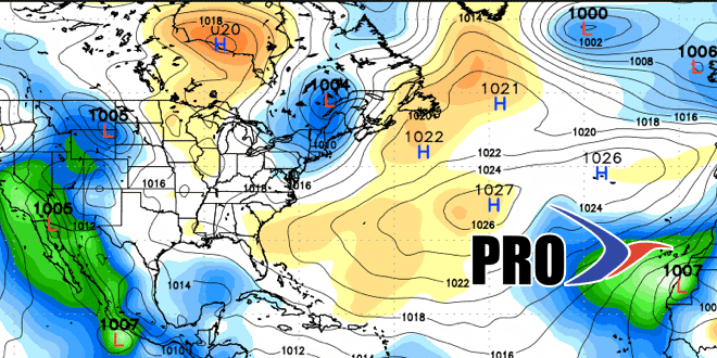
The overall pattern in the next couple of weeks looks quite a bit cooler than the first three weeks of July, but not too far, if any, below normal. In general, the Bermuda high will not reestablish itself anytime real soon, and we should see a steady progression of systems coming along the northern states into New England. Provided a front gets far enough offshore on Thursday, there should be a nice stretch of weather through most of the weekend. A cold front will bring showers late in the weekend and early next week. That, too, should be followed by at least a couple of dry days before the next system arrives.
There is not any incredibly dry air in the forecast. It’s been a month since the temperature dropped below 66° at TF Green Airport, that will probably happen in the next couple of weeks, but it may not reach the upper 50s anytime soon. There is also little, if any, 90° heat in the forecast for the next couple of weeks. Most days will feature high temperatures between 80-85° inland, and 78-82° near the coast.
The National Hurricane Center is tracking a tropical wave off the African coast. It has a 30% chance of becoming a tropical system, but is thousands of miles east of the Caribbean, and no immediate threat to land.


