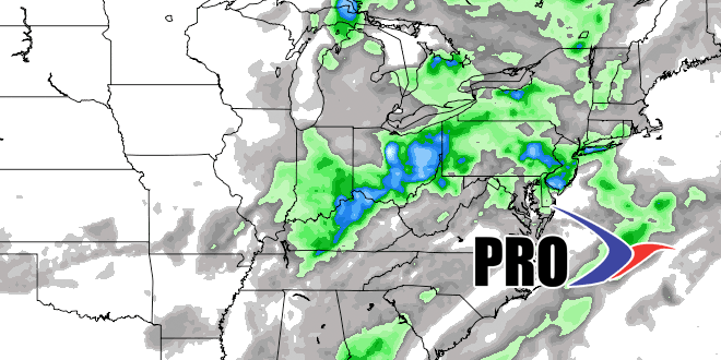
Long Range Forecast – July 8

Overall, the warmer than normal weather pattern will continue in the Northeast. It will not be quite as hot as it’s been so far this month, but there is not much cool, dry weather in the forecast, either. The humidity should stay high through Thursday before dropping early in the weekend. It will likely return early next week. A couple of cold fronts next week will bring shower/t-storm chances and drier air after they pass. It looks like a typical mid to late July pattern for the next couple of weeks.
Chantal may become a strong tropical storm when it gets to Hispaniola, but it is expected to weaken upon reaching the Bahamas and running into a less favorable weather environment for tropical systems. The storm has little chance of heading for New England, and is more likely to bring rain to Florida before possibly heading into the Gulf of Mexico as a weak tropical storm or tropical depression.


