Breaking Weather

Models agree that hot stretch ends Saturday night

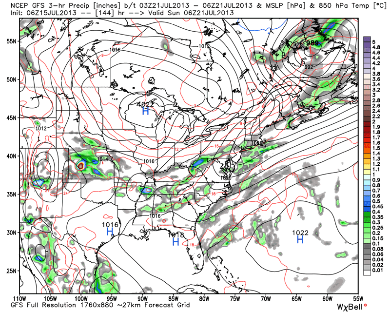
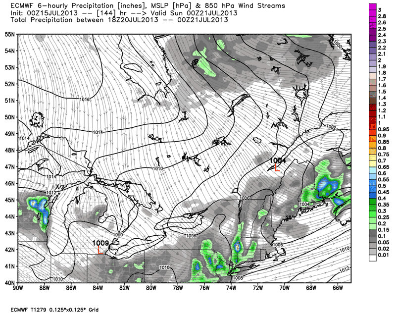
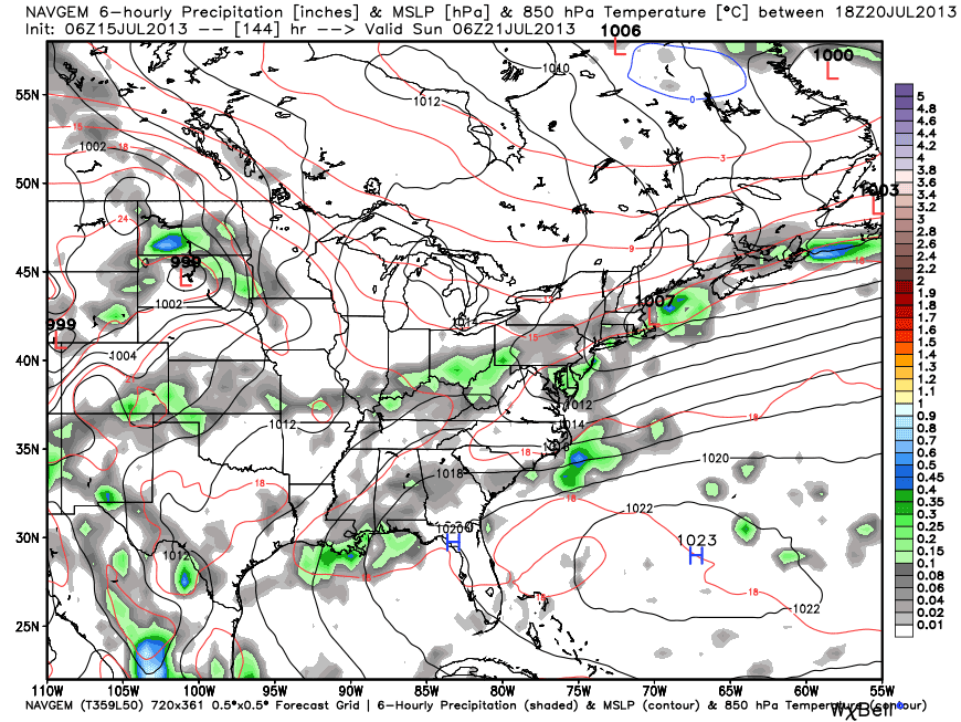
It will be a scorching week in Southern New England. Highs will top 90° inland most, if not all, days through Saturday. The low temperature will be in the 70s. If you’re hoping for relief from the heat, it looks like it will arrive with a cold front Saturday night. Several different computer models are in agreement that the front will pass through by Sunday morning, opening the doors to drier/cooler air.

The bright colors on the maps below represent the rain associated with the cold front. High pressure over Canada should move into the Northeast Sunday into Monday.

NAVGEM model - Saturday night
NAVGEM model – Saturday night
GFS Model Saturday evening
GFS Model Saturday night
GEFS ensemble members late Saturday night
ECMWF model Saturday evening
CMC (Canadian) model Saturday evening

Fred Campagna

President and Chief Meteorologist - Right Weather LLC AMS Certified Consulting Meteorologist #756 AMS Certified Broadcast Meteorologist #126

Related Articles

Back to top button