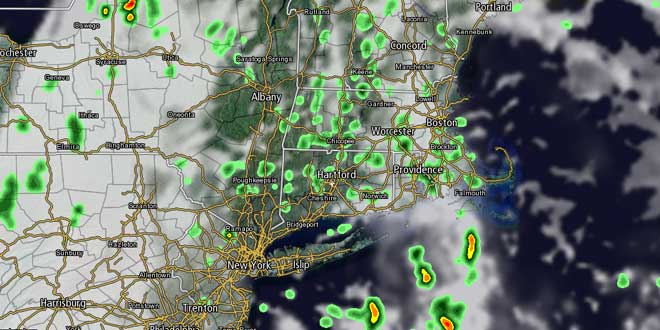
Tuesday in Southern New England was a lot more palatable to those who do not like heat and humidity. After a five-day heat wave in the Providence area, the high temperature struggled to reach 80° with mostly cloudy skies through the early afternoon. Heavy showers and thunderstorms impacted parts of Kent and Washington County through mid-afternoon. There were also showers in SE MA. The showers activity diminished by late in the afternoon yielding a quiet evening. The temperature will drop into the mid to upper 60s by dawn Wednesday. There may be some patchy fog near the coast.
- Update: Tropical Storm Chantal is moving quickly through the Caribbean Sea
- On Twitter? Follow @FredCampagna and @RightWeather
- Not on Twitter, check our Social Stream
Wednesday looks partly to mostly cloudy, warm, and muggy. There will be a southerly breeze at 10-20 mph. Scattered showers and storms are possible from late-morning through the afternoon. Highs will be near 80 at the coast, and in the low to mid 80s inland. The threat of showers/storms continues through Wednesday night. It will be very humid with lows in the low 70s.
Thursday will also be be unsettled, with scattered showers and thunderstorms under mostly cloudy skies. Highs will be in the upper 70s to low 80s. The showers threat diminishes Thursday night as the cold front moves offshore. Drier air will move into Southern New England for the start of the weekend. Friday’s forecast is tricky because it is unclear how quickly the cold front will get far enough away to allow for clearing and drier air to move into RI, CT, and SE MA. Right now, it looks like increasing sunshine with highs in the upper 70s to low 80s.
The weekend is shaping up to be very nice. It will not be as humid, with highs in the low to mid 80s under mostly sunny skies. Low temperatures will be in the mid 60s – pretty typical for mid-July. There are signs that another surge of very warm, muggy weather will head for the Northeast early next week.


