Scattered heavy showers and thunderstorms moved through part of Rhode Island and Eastern Massachusetts on Monday. The rain signified the last hurrah for muggy weather in the month of July. The wind will shift to west-northwest Monday night, ushering in much drier weather from the Great Lakes. Skies will be mainly clear Tuesday morning, with a low temperature in the low to mid 60s.
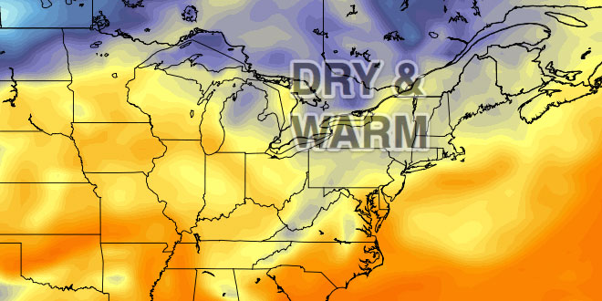
Tuesday will be a spectacular day, with mostly sunny skies and highs in the low to mid 80s. There will be no noticeable humidity, and a westerly wind of 5-10 mph. It will be clear and comfortably mild Tuesday night. Lows will be in the upper 50s to low 60s on Wednesday morning.
Wednesday will also be a beauty, with mostly sunny skies and highs again in the low to mid 80s. It will turn a bit cooler at the coast in the afternoon as the wind veers onshore.
Showers Thursday PM
The weather will take a turn for the worse on Thursday, as clouds increase and showers develop – primarily in the afternoon. Showers and thunderstorms are likely Thursday night into early Friday as a vigorous system moves from the Mid-Atlantic to Southern New England. The high temperature on Thursday is dependent on how long the sun hangs on before clouds overspread the area. Most spots should reach 75-80° before clouds and showers arrive.
After a rainy start, the weather will gradually improve on Friday. It may not be a banner day, but most of the day will be dry, with highs in the 70s to low 80s. The first weekend of August looks a bit cool, with 75-80° highs and the chance of showers by late Sunday.


