Did you know the temperature Thursday afternoon (low 60s) was farther from the normal high temperature for this time of year than anything that we saw during the heat waves earlier in the month? The normal high is 83°, so it would have needed to reach about 103° to be as extreme as the cool weather that SNE experienced on Thursday afternoon.
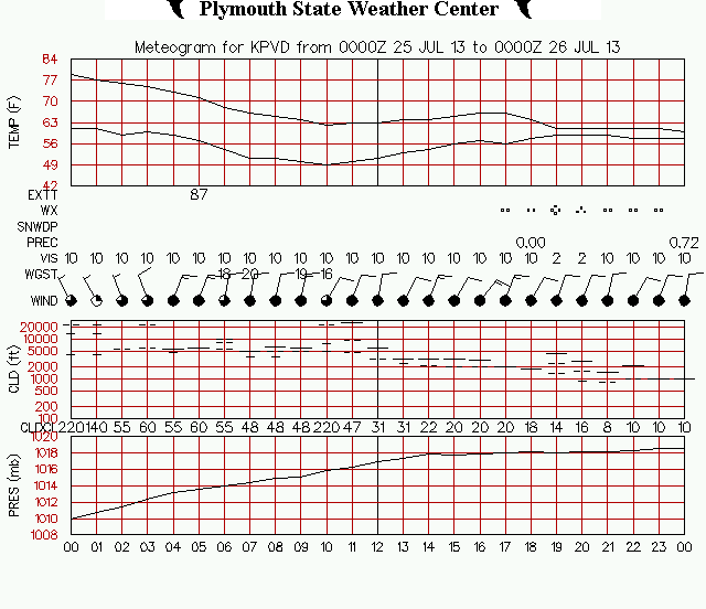
The temperature was 97° at TF Green at 3 pm on Friday, July 19, 2013. At 3 pm on Thursday, July 25, 2013 it was 61°. On most summer days, the high temperature is achieved in the mid to late afternoon. So, when the temperature was supposed to be near 83°, it was 14° warmer than normal last Friday, and 22° cooler than normal on Thursday.
To be fair, the average daily temperature was more extreme during the hottest days of the heat waves. The reason for that is the overnight low temperature was 10-12° warmer than normal. The overnight low temperature would have to be between 53-55° to be as extreme at the other end of the spectrum. The low temperature in Providence should be in the upper 50s.
A 71° high temperature will go into the books for Thursday at TF Green Airport. That was the temperature at midnight. Even with the incredibly cool day, and another relatively cool one on Friday, the average temperature for July is still expected to be the hottest month on record in the Providence area.


