Sunday paled in comparison to the weather for the past several days in Southern New England. Clouds were prevalent, and there were some showers from time to time in the afternoon and early-evening. Highs were in the mid to upper 70s in most of RI and SE MA. Skies will become partly sunny after midnight, and the low temperature Monday morning will be in the mid to upper 50s.
Warmer weather is in the forecast for the week ahead. Monday should be a nice day with highs in the low to mid 80s inland, and mid to upper 70s near the coast. It looks partly to mostly sunny. Monday night will be mainly clear and mild, with lows in the low to mid 60s.
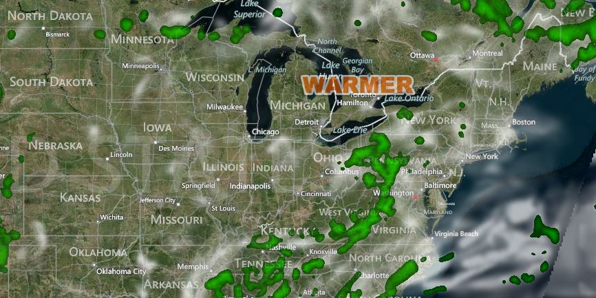
The warmest weather in the past four weeks is in the forecast for the middle of the week. Tuesday through Thursday should be partly to mostly sunny with highs in the mid to upper 80s inland, and near 80 at the coast. There will be more humidity during the warmer weather, but it does not look oppressively humid. Dew points will be in the low to mid 60s. Low temperatures during the warmest weather will be in the mid to upper 60s.
A cold front is in the forecast for late this workweek. The exact timing of the front is uncertain. It looks like it will come through sometime between late Thursday and late Friday. Scattered showers and thunderstorms are possible when the front passes. The air behind the front will be a bit cooler and much drier. Right now, it looks like the front will be offshore by midday Friday, with sunshine and highs in the low 80s in the afternoon.
The early outlook for next weekend is for pleasant conditions as high pressure moves from Canada to the Northeast. Highs would be in the upper 70s to low 80s, and lows in the 50s.


