Rainy, mild weather on Friday will be replaced by a delightful, warm, and dry stretch this weekend. Looking further ahead for those that may have next week off, there is another shot of early-fall weather in the forecast for the middle of the week.
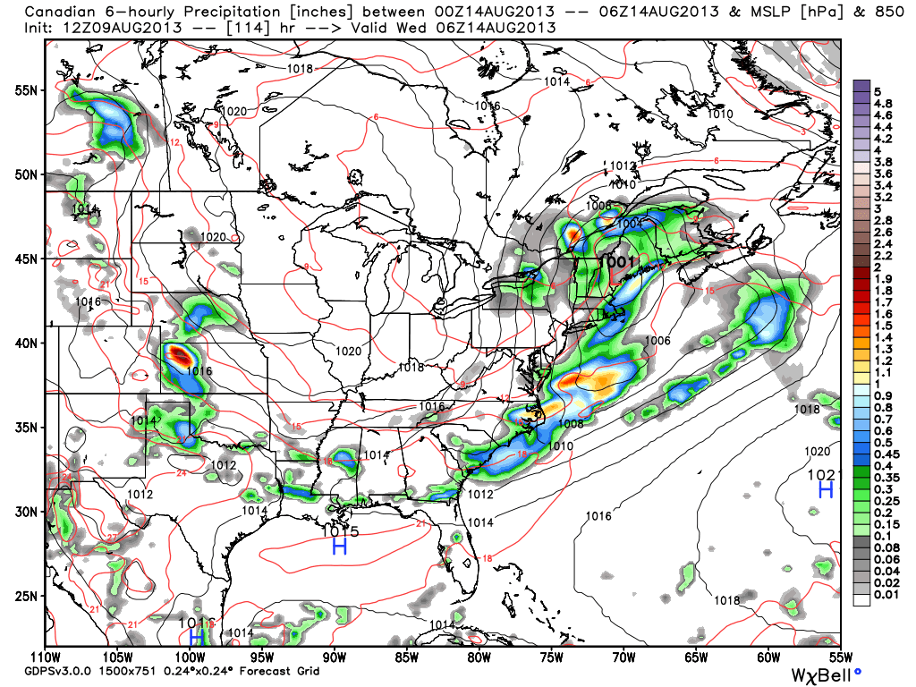
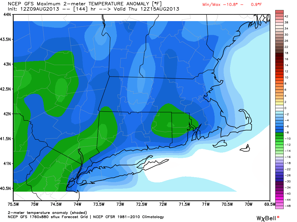
A storm system will bring showers and thunderstorms Tuesday into Tuesday night. As the cold front departs, the door will reopen for clear, dry weather from central Canada to move into New England. The temperature will likely dip into the low to mid 50s by early Thursday morning. Highs on Thursday will stay in the 70s with lots of sunshine.
At this point, it looks like the area of high pressure may spread out and provide fair weather through the end of next workweek, and possibly through next weekend.