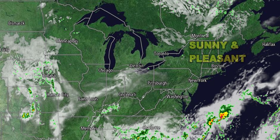
Gorgeous weather continued on Thursday in Southern New England. Once again, it was not particularly warm, but there was plenty of sunshine. The wind was much lighter than Wednesday, and high temperatures were in the low to mid 70s. It will be clear and comfortable Thursday night. The temperature will drop into the 50s by early Friday morning.
Friday will be another beauty, with highs near 80 inland, and in the 70s at the coast under mostly sunny skies. It will stay dry, with dew points in the 50s. A light westerly wind will turn onshore at 10-15 mph in the afternoon. With water temperatures in the low 70s near the coast, it looks like a great beach day.
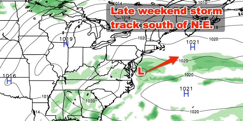
High pressure will remain entrenched over New England this weekend, and that means it will continue being quite nice, without much humidity. An active storm track will likely stay south of Southern New England bringing rain to the Southeast and southern Mid-Atlantic. Highs inland will be near 80 on Saturday and Sunday. It will be in the 70s near the coast. Saturday looks like the sunnier of the two days, but there will still be a fair amount of blue sky on Sunday. Lows will be in the upper 50s to low 60s.
Warmer, muggier weather should return to the Northeast next week. Highs will be in the 80s inland in the early to middle part of the week, and it may reach the 90s by late in the workweek. There will be some fine beach weather with temperatures in the upper 70s to low 80s near the coast. At this point, most, if not all, of the workweek looks rain-free. Low temperatures will be in the 60s with higher humidity than we’ve seen for most of the past month.


