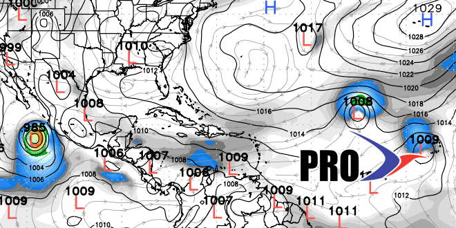
Long Range Forecast – August 15

As mentioned in the video, there are some fairly big changes to the Long Range Forecast compared to what we were looking at Monday. The gist of it is the ridge will build farther west than we thought, and any showers moving around the periphery of the ridge will likely stay west of Southern New England next week. Also, there is a pretty good shot of a 3-5 day stretch of 85-90° weather in Southern New England, and the outside chance of another inland heat wave. The warmer weather also comes courtesy of the strong high pressure centered over the Mid-Atlantic next week. It does not look like the following week will be as warm, but it may still be warmer than normal for late-August.
The action in the tropics will continue to pick up as several tropical waves will emerge off the African coast in the next couple of weeks. Erin will most likely be a non-factor, and the computer models do not bring any system into the Caribbean in the next two weeks.


