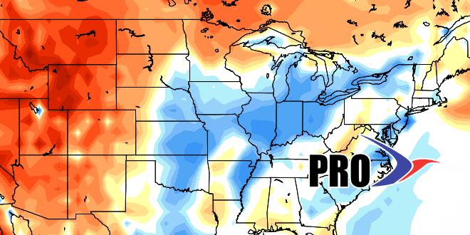
If you are an extreme-weather lover, there is not a lot to get excited about in the next couple of weeks. A return to warmer, muggier weather for a few days this week will be replaced by a cooler, drier airmass this weekend into early next week.
Looking at next week, it looks pretty typical of late-August with a couple of cold fronts passing through in the mid to late week. The temperature will most likely not stray too far from normal, which is a high near 80° and lows in the low 60s.
While the details of Labor Day weekend are not clear, it does not look like it will be unusually warm, and there may be some showers in the mix at some point in the weekend.
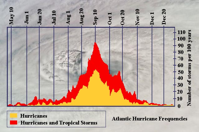
The tropics continue to be quiet. At this point, we are leaning toward cutting back our hurricane forecast significantly. While there have been five tropical storms, there have not been any hurricanes so far this season. The Atlantic hurricane season’s first hurricane average arrival is August 10. Last year at this time there had already been three hurricanes. Two years ago, however, it wasn’t until August 22 that Irene became the first hurricane of the season. Of course, we all remember that storm quite well. There went on to be six hurricanes in 2011. The activity usually ramps up considerably in the last week of August. We still figure something will get cooking before September 1.


