August has been a slightly cooler than normal month in Southern New England. There has not been much in the way of extreme weather, and it looks like there will not be a 90° during the month at any of the four major climatology sites (Boston, Providence, Hartford, Worcester) for the first time since 2008.
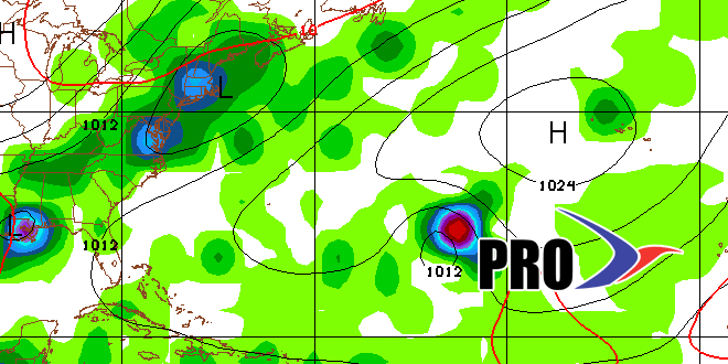
Looking ahead to next week, a vigorous system will drop into the Northeast from Canada late Monday into Tuesday morning. It will bring some showers and thunderstorms. There are signs it may be followed by another system Wednesday into Wednesday night. The timing, track, and intensity of these systems are still in question, and the broad-brushed forecast is for showers possible sometime between late Monday and late Wednesday.
The good news is it looks like the weather will improve by late in the workweek. It will be near to slightly warmer than normal from late workweek through the Labor Day weekend. At this point, it seems there is a decent chance that the weather will stay dry through the holiday, which is always a bonus!
The weather pattern after Labor Day weekend is not particularly clear-cut, but it looks like it could be unsettled up and down the Eastern Seaboard. We’ll have to watch for tropical or subtropical development in the Gulf of Mexico or near the Atlantic Coast. Even if tropical systems don’t develop, there could be a soaking rainstorm or two that impacts the Southeast, Mid-Atlantic, and part of New England between Sep 2-10.


