Overall, it’s been a quiet month of August. The temperature has been slightly below normal – primarily due to cool nights between August 4-7 and 14-16. The fairly quiet weather will continue through early September. The slow-moving front that will bring the chance of showers over the Labor Day weekend will be out of the picture by late Tuesday. The weather looks mainly dry from the middle of next week through most of next weekend. Showers are possible late in the weekend. Temperature-wise, there should be nothing extreme.
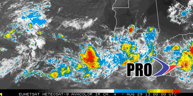
The tropics should finally begin to awaken in the next week, but there are not likely to be any threats to the United States through the first week of September. The weather pattern in the Atlantic favors storms curving out to sea in the Central Atlantic – before reaching the Caribbean. That pattern will shift to one that allows for storms to get closer to the United States during the second week of September. There should be a steady stream of disturbances coming off the African coast in the next couple of weeks. The climatological peak of hurricane season is around September 10.


