Long Range Forecast – August 5

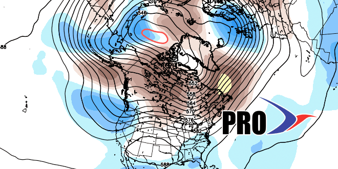
Where has the summer gone? So far, August is averaging a few degrees below normal in Southern New England, and I do not see that changing much in the next couple of weeks. There will continue to be an influx of cool, dry Canadian air every few days in SNE.
Between surges of dry air, there will likely be a cold front and/or storm system that threatens SNE with showers and thunderstorms. We’ll see that happen late this week, with a couple of days of unsettled weather on Thursday and Friday. The system should move offshore by midday Saturday, and fine weather is in the forecast for the rest of the weekend and early next week. At some point in the middle of next week, another disturbance will bring the chance of rain back to SNE.
The tropics are quiet, and will likely stay that way for the next 10 days or so. We’re still looking for the action to pick up later this month, and the latest update from the experts at CSU calls for an active season.


