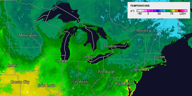
The temperature dipped into the mid to upper 40s in the countryside late Monday night. It was not quite as cool in the cities and near the coast, with lows in the 50s under clear skies. Tuesday will be another beautiful day, with mostly sunny skies and highs in the mid to upper 70s. The dew point will stay in the 40s to low 50s. A light northwesterly breeze will turn onshore at 10-15 mph in the afternoon. Mainly clear to partly cloudy skies are expected Tuesday night. Lows will be in the mid to upper 50s.
Sunshine Wednesday morning will give way to some afternoon clouds. It will likely stay dry through the day, with highs in the mid to upper 70s and a southerly breeze. Scattered showers and thunderstorms are possible Wednesday night as a cold front approaches from the west. Lows will be in the low to mid 60s.
Unsettled end to the workweek
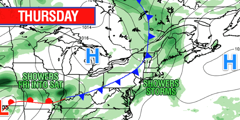
Thursday looks showery, with the chance of a thunderstorm. Highs will be in the 70s with mostly cloudy skies when it is not raining. There will not be much of a break between weather systems, and showers are possible again Friday into Saturday morning as a disturbance moves from the Ohio Valley to the Northeast.
The weather should gradually improve on Saturday. Showers may linger in the morning, with some clearing in the afternoon. Highs will be in the upper 70s to low 80s. Sunday is shaping up to be a beauty, with sunshine and highs near 80. There is no sign of 90° heat and humidity returning to Southern New England in the next 7-10 days.


