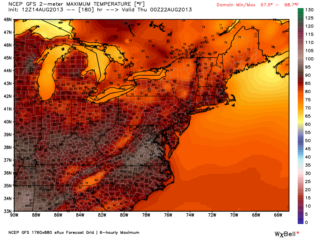
Just a quick update for Pro members as the pattern for late in the weekend and next week begins to take shape. To be honest, I was probably off the mark with my assessment of the potential for an extended 85-90° stretch in the most recent Long Range Forecast. I did not think we’d see another several day stretch of heat and humidity, but it looks like I will be wrong as high pressure establishes a presence in the Mid-Atlantic and allows some mid-summer heat back into the Northeast in the middle to latter part of next week. Right now, it does not look brutally hot, but 3-5 days of 86-94° are possible.
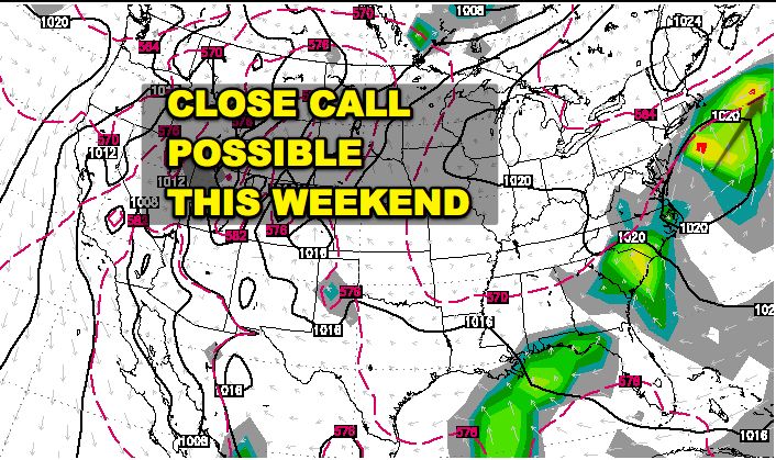
Another thing to keep an eye on is the potential for a storm system to bring rough weather to Southeastern New England late this weekend. Most of the models show a disturbance spinning off the Carolina coast and passing south of Nantucket. Some models have that system come close enough to bring a period of rain and gusty wind to the Cape and islands. Others have a weaker system which stays harmlessly offshore and the result is a gorgeous weekend. The trend over the past day has been for a closer call with the system than previously predicted. We’ll see if that trend continues in the next couple of days.