Friday morning update
Clouds have been slow to break up on Friday morning. There should be in and out sunshine in the afternoon. It will reach the mid to upper 70s inland, and low to mid 70s near the coast.
From earlier…
Stubborn clouds and a northeast breeze joined to make it feel like early October on Thursday in Southern New England. The high temperature failed to reach 70° in most of Eastern MA, and it barely made it into the low 70s in most of RI. The sun broke through in western Southern New England, and highs were in the mid 70s in CT and Western MA. Thursday night will be mostly cloudy and cooler, with some mist possible in the evening. Lows will be in the mid 50s.

The wind will shift to the west-southwest on Friday. A drier, warmer wind direction will bring back some sunshine and highs ranging from the mid 70s to low 80s. The best chance of breaking 80° is away from the coast. There will be a hint of humidity by late in the day. Friday night looks mostly cloudy and muggy, with lows in the mid 60s.
Mainly dry Labor Day weekend
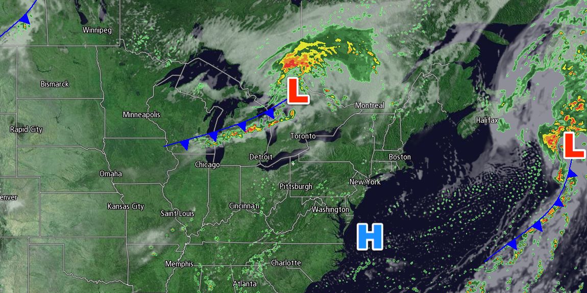
Most of the Labor Day weekend should be dry, but there is a chance of scattered showers on all three days. Clouds will gradually increase on Saturday ahead of a cold front that may trigger showers and thunderstorms late in the day and Saturday night. It will be a breezy, warm, and muggy day. Highs will be in the low to mid 80s inland, and 70s near the coast with a southwesterly breeze. The front will still be near Southern New England on Sunday, and a few pop-up showers are possible. It does not look like a washout, with partly cloudy skies and highs in the mid to upper 70s.
Another cold front will approach Southern New England on Labor Day, and that could be the best chance of rain during the weekend. The slow-moving system may bring widespread showers and thunderstorms to the Mid-Atlantic and Northeast on Monday. It will be humid, with highs in the 70s under mostly cloudy skies when it is not raining.
The shower/thunderstorm threat continues through Monday night into Tuesday morning. Brighter skies are likely Tuesday afternoon. The weather through the middle of next week looks dry and pleasant, with highs in the 70s and lows in the 50s.


