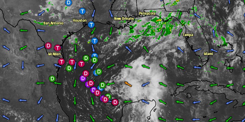
Tropical disturbance Invest 92 is moving away from the Yucatan Peninsula into the Gulf of Mexico. There is a 50% chance the system becomes a tropical cyclone in the next 48 hours. At this point, there is still a lot of uncertainty about the track of the disturbance. Computer model projections continue to range from Mexico north to Louisiana. Regardless of the track, the disturbance is not expected to become a strong tropical storm before moving inland. As noted in the National Hurricane Center discussion below, a northward track towards the United States also brings the system into a less conducive environment for strengthening.
Computer model forecasts for Invest 92
AN AREA OF LOW PRESSURE IS LOCATED OVER THE SOUTHWESTERN GULF OF
MEXICO ABOUT 120 MILES NORTH-NORTHWEST OF CAMPECHE MEXICO. SHOWER
AND THUNDERSTORM ACTIVITY HAS INCREASED A LITTLE OVER THE PAST FEW
HOURS...BUT IS STILL LOCATED WELL TO THE EAST AND NORTHEAST OF THE
LOW CENTER. ENVIRONMENTAL CONDITIONS COULD BECOME MORE FAVORABLE
FOR DEVELOPMENT IF THE LOW MOVES TOWARD THE WEST OR WEST-NORTHWEST
OVER THE NEXT COUPLE OF DAYS. INTERESTS IN THE CENTRAL AND WESTERN
GULF OF MEXICO SHOULD MONITOR THE PROGRESS OF THE SYSTEM THROUGH
THE WEEKEND. IF THE LOW TAKES A MORE NORTHWARD TRACK...HOWEVER...IT
WOULD MOVE INTO A LESS CONDUCIVE ENVIRONMENT FOR DEVELOPMENT. THIS
SYSTEM HAS A MEDIUM CHANCE...50 PERCENT...OF BECOMING A TROPICAL
CYCLONE DURING THE NEXT 48 HOURS...AND A HIGH CHANCE...60
PERCENT...OF BECOMING A TROPICAL CYCLONE DURING THE NEXT 5 DAYS.


