Friday was a third consecutive day with cloud-free skies over Southern New England. Undoubtedly, this is one of the nicest weather stretches of the year. It will be mainly clear to partly cloudy Friday night. Patchy fog may develop near the coast by dawn Saturday. It will be comfortable, with lows near 50° in the countryside, and in the mid to upper 50s in the cities and near the coast. The weather will take a slight turn for the worse this weekend. Clouds will gather on Saturday, and widespread showers are likely Saturday night into Sunday morning.

Saturday looks partly to mostly cloudy in RI and E CT, with a better chance of mostly sunny skies in SE MA. A weak disturbance moving north from the Atlantic Ocean could trigger a few light showers during the day. For most, it will be another dry day. The wind will be out of the south-southeast at 10-20 mph, and it will not be as warm as the past couple of days. The temperature will reach the upper 60s near the coast, and low to mid 70s inland. Most places should be 3-6° cooler than Friday afternoon’s high temperature.
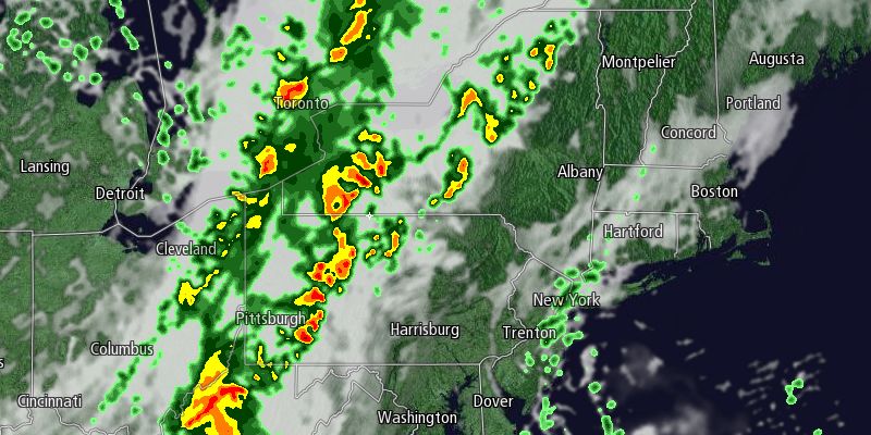
The shower threat increases Saturday night as a cold front approaches from the west. Rain is likely at some point between late Saturday evening and midday Sunday. The highest likelihood of rain is early Sunday morning. It will be breezy, mild and muggy Saturday night. Lows will be in the 60s with a 10-20 mph southerly wind. There may be an embedded thunderstorm in the line of showers that crosses Southern New England.
Showers are likely early Sunday morning, and there is a good chance of mainly dry weather from late in the morning through the afternoon. The shower threat diminishes significantly by noon, with just the chance of a stray shower in the late-afternoon or early evening as a disturbance swings through SNE. It will become partly cloudy with highs in the low to mid 70s. The wind will shift from the south to northwest during the day. Less humid air will filter in on the northwesterly breeze during the afternoon. Overall, it’s not a terrible forecast for the Patriots-Bucs game in Foxboro or the CVS Caremark Downtown 5k in Providence. Fall arrives at 4:44 pm EDT, although there is not much color to the foliage yet – even in Northern New England.
The cold front will continue moving offshore Sunday night as another large area of high pressure moves from the Great Lakes to the Northeast. It looks like there will be another extended stretch of mainly clear, dry weather through most of next week. Initially, it will be on the cool side, with lows in the 40s and highs in the 60s Monday and Tuesday. Similar to this week it will get milder as the week progresses. Highs should be in the 70s by Wednesday afternoon. Right now, it looks like it will stay dry and mild through the end of the workweek.


