Friday morning was the coolest since late May or early June in all of Southern New England. The temperature bounced back to near 70° with plenty of sunshine on Friday afternoon. It will be a clear and cool start on Saturday, with lows in the 40s in the countryside, and in the low 50s at the coast and in the cities.

Saturday looks mostly sunny in the morning, with some clouds drifting in from the west in the afternoon. Overall, it will be a great day, with highs in the low to mid 70s. A 10-20 mph southwesterly breeze will kick in near the coast in the afternoon. Clouds will continue rolling in Saturday night, and a few showers or thunder showers are possible after midnight. It will not be nearly as cool, with lows in the upper 50s to low 60s.
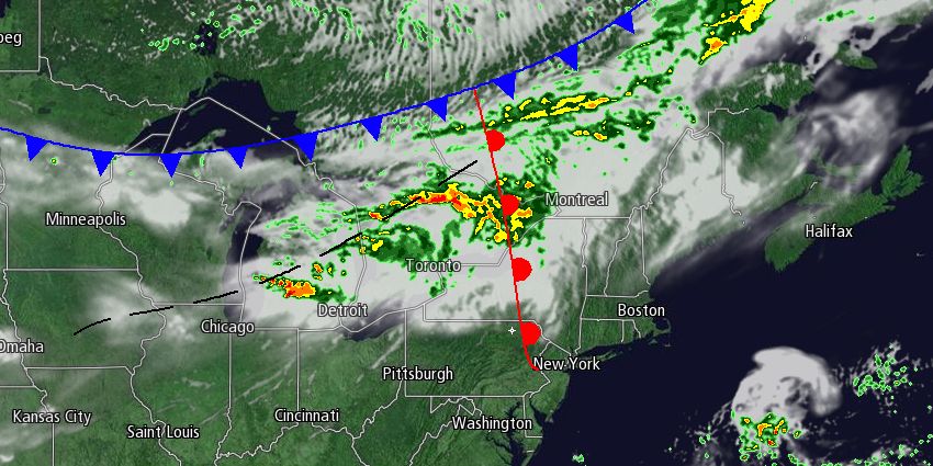
A cold front will move through Southern New England on Sunday. Scattered showers are possible through midday, with clearing skies in the afternoon. It will be a mainly dry day, with some sunshine breaking through in the morning, too. Highs will be in the mid 70s on Sunday before it turns cooler Sunday night after the front moves offshore.
Cool early next week, then a warm-up
Monday morning looks like the way it was on Friday morning, with lows in the 40s to low 50s. Monday will be a pleasant day with plenty of sunshine and highs in the upper 60s to low 70s. It will get warmer and stay dry through the midweek. Highs may reach the 80s inland on Wednesday. Another front will threaten Southern New England with rain late in the workweek.


