The theme this September has been “fronts and highs” in the Northeast, and it looks like that will continue for the rest of the month. There was a brief scare earlier this week when the computer models went haywire for a run with the prediction of a major coastal storm in the early to middle part of next week. We updated the last Long Range Forecast Wednesday morning to allude to that possibility, but we also noted that the ensemble runs looked a lot different than the operational runs. It looks like we made the right call by not hopping on the storm train. Our previous forecast from earlier in the week is still in good shape.
By now, you probably know that there will be some mid-weekend rain as a cold front moves through Southern New England. The latest timing has the bulk of the rain coming through by mid-morning Sunday, with improving conditions Sunday afternoon. The faster timing means that Saturday will not be as nice, with more clouds, maybe even a few stray showers, and then a better chance of showers in the evening.
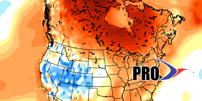
Back to the long range…high pressure will dominate next week. A negative NAO blocky weather will take shape, and that means there will be slow-moving weather systems. The slow-moving system over Southern New England will give fair weather most of next week. It will be seasonably cool early in the week, and a little warmer than normal by late in the week. Another cold front approaches next weekend with the threat of mid to late weekend showers. Once again, it should be fairly progressive and followed by dry weather for the first several days of October.
Store this one away…we’re leery of a storm developing off the Southeast US and having an impact somewhere along the East Coast in the first half of October.


