A soggy Labor Day weekend in parts of Southern New England wrapped up with more locally heavy showers and thunderstorms in CT, RI and MA. Flash flooding occurred in Kent and Providence Counties in RI after another 2-4″ of rain on top of the 2-5″ that fell on Sunday. Through the first two days of the month, TF Green Airport has received 89% of the normal September rain. A record smashing 2.82″ fell on Monday.
Unfortunately, showers and thunderstorms cannot be ruled out in Southern New England Monday night and Tuesday ahead of a cold front slowly easing east from the Great Lakes. Monday night will cloudy, muggy, and mild, with patchy fog. Scattered showers and thunderstorms are possible Monday night, with the greatest chance of rain in W CT and W MA. Lows will be in the mid to upper 60s as it stays humid.

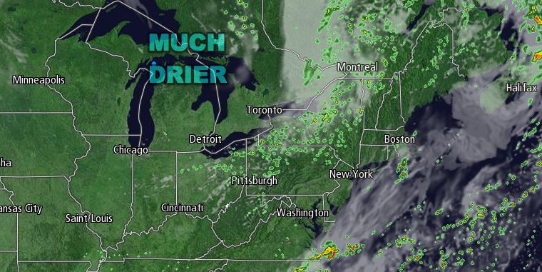
Tuesday will be partly cloudy with the chance of a passing shower or thunderstorm. There should not be as many showers as developed over the holiday weekend in Southern New England. The shower threat will end late in the day as the cold front passes and drier air moves in on a west-northwest wind. Highs Tuesday will be in the low 80s inland, and 70s near the coast. The dew point will drop into the 50s by late Tuesday night, and the low temperature Wednesday morning will be in the low 60s.
Wednesday looks delightful. It will be mostly sunny and seasonably warm, but not humid. Highs will be in the mid 70s near the coast to low 80s inland. A cold front will pass on Thursday bringing cool and dry weather for the end of the workweek. Thursday should be partly cloudy with the chance of a shower or thunderstorm as the front moves through. Highs will be in the mid to upper 70s.
The air behind the front will be comfortably cool. Lows Friday morning will be in the low to mid 50s, and highs on Friday will be in the upper 60s to low 70s under mostly sunny skies. It will not stay quite that cool in the afternoon over the weekend. After a nippy start Saturday morning, the temperature should bounce back into the 70s during the day. Sunday looks partly sunny with the chance of a shower as another cold front approaches. Highs Sunday are expected to be in the 70s.


