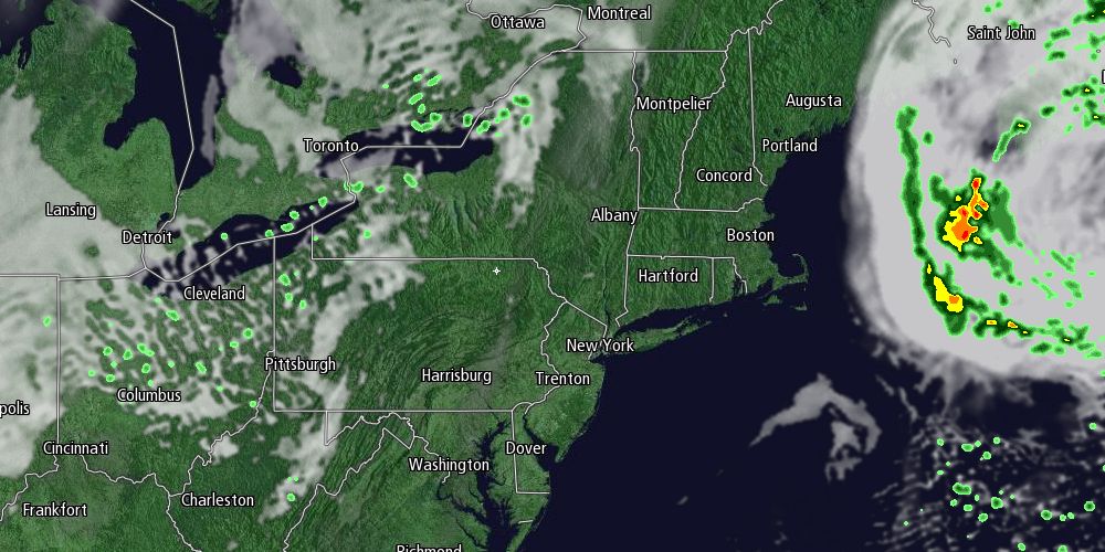
Monday was a nice day in most of Southern New England. An ocean storm threw some clouds at the Cape and Islands, with the rest of SNE seeing mostly sunny skies. Highs were seasonable, with most spots reaching the upper 60s to low 70s. The ocean storm will move further away on Tuesday, and it will gradually get warmer through the midweek.
Monday night looks clear to partly cloudy with lows in the upper 40s to mid 50s. It will be mildest in the cities and near the coast. Tuesday will be partly to mostly sunny and a bit warmer than Monday. Highs will range from the mid to upper 70s inland to the low 70s near the coast as the wind turns onshore late in the day.

Tuesday night will be unseasonably mild, with lows in the mid to upper 50s under clear skies. The normal low temperature for early October is in the mid to upper 40s. Wednesday should be the warmest day of the warm stretch. It will be mostly sunny with highs inland in the low to mid 80s, and highs near the coast in the 70s. It may be within a couple of degrees of the record high temperature for the date.
The unseasonably warm weather will continue on Thursday. Highs will be in the mid to upper 70s under mostly sunny skies. Clouds will increase on Friday, and some showers are possible late in the day as a back door cold front moves through. Highs will be in the upper 60s to low 70s.
The weather will stay dry this weekend. It looks seasonable, with highs in the upper 60s to low 70s under partly cloudy skies. Patchy fog is possible at night. Lows will be in the 50s. A slow-moving system will bring the threat of rain Monday into Tuesday of next week.


