The unseasonably warm October will gradually transition to much cooler weather in the upcoming week. There are a couple more mild days ahead before the chill arrives. The workweek will begin with clear skies and temperatures in the 30s to mid 40s at dawn on Monday. Monday afternoon will be mostly sunny and mild. Highs will be in the low to mid 60s. There will be a 5-10 mph west-southwest wind.

Monday night will not be too cool, with lows in the 40s to low 50s under partly cloudy skies. Tuesday looks like the last mild day for a while, with highs in the low to mid 60s as a cold front approaches from the west. The wind will pick up out of the southwest to 10-20 mph ahead of the front. Morning sunshine will give way to afternoon clouds. A few showers are possible inland late in the day. The wind will shift to the northwest ushering in cooler weather Tuesday night. The temperature will dip into the low to mid 40s by dawn Wednesday.
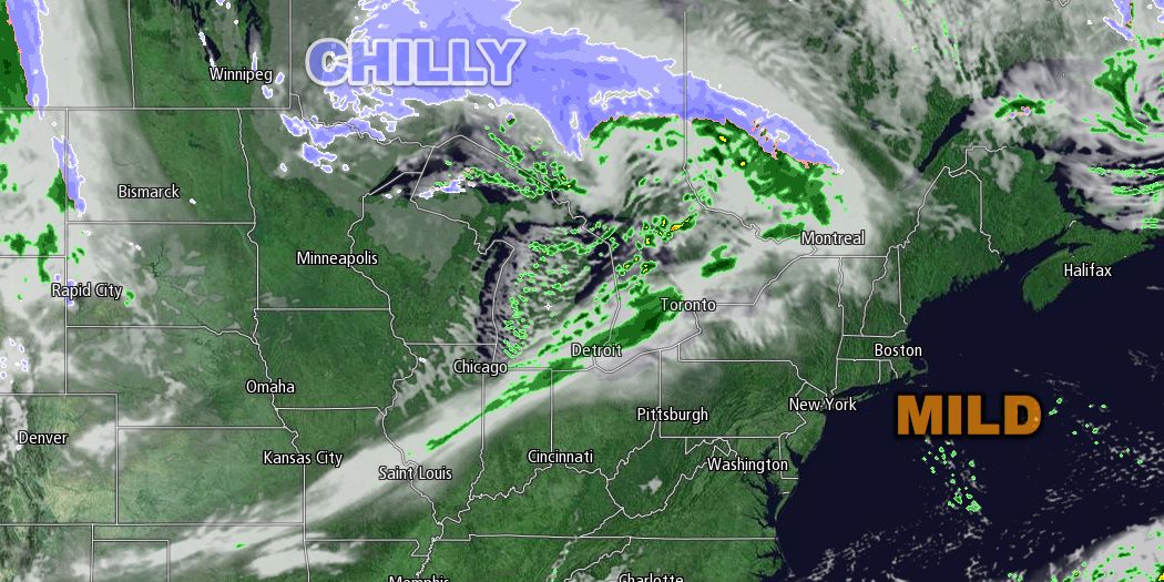
Wednesday’s forecast is tricky. A storm may develop close enough to the coast to bring very chilly rain showers to Southeastern New England Wednesday and/or Wednesday night. It’s uncertain how quickly this storm will form, but the potential exists for rain and temperatures ranging from the upper 30s to mid 40s in RI and SE MA by late Wednesday. In a worst-case scenario, snow may mix with the rain in the higher elevations away from the coast. If the storm does not develop close enough to the coast, it will be partly to mostly cloudy with highs in the upper 40s to low 50s.
The late-week weather will be dry and unseasonably cold. Lows will be in the low to mid 30s, and highs will be in the mid 40s to low 50s on Thursday through Saturday. The west-northwest wind will be fairly active, and that will make it feel a few degrees cooler. Skies will be partly cloudy at night, and partly to mostly cloudy during the day. It is going to feel a lot more like late November than late October.
Looking all the way ahead to next Sunday, a reinforcing shot of cool air will be moving through the Great Lakes. A few showers are possible ahead of it, and highs will only be in the low 50s in Southern New England.


