Long Range Forecast – October 25

The flip from a mild to cool October has occurred on schedule, but the weather pattern still remains dry in Southern New England. A stray shower is possible Saturday night as a cold front passes, but it will not be the soaking rain we could use. After a dry start to next week, a few more showers are possible in the late Tuesday through midday Wednesday timeframe. Right now, that does not look like widespread rain, either. Of course, Thursday is Halloween, so the last thing we want to see is heavy rain, and, aside from the GFS model, it looks like it will be dry and seasonable. The GFS has a stronger connection between the mid and late week systems then the other models. As you’ll see in the video, we are discounting that solution and going with a dry forecast for Halloween.
A cold front will bring some showers late next week. At this point, it looks like there is the potential for a half-inch or more of rain, but I’m hesitant to get too excited about it because of the way some other storms have fizzled. If a wave of low pressure forms along the front, SNE will be in good shape for a decent soaking. We’ll continue to watch it.
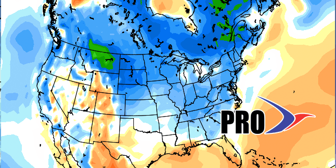
The start of the first full week of November will likely be dry. The potential exists for another round of rain late in that week or into the second weekend of November. Overall, the pattern looks reasonably close to normal in both temperature and precipitation for early November.


