Long Range Forecast – October 29

The last two years have featured very active weather from late summer into mid autumn. This year, it has been anything but active in the Northeast. There have been no tropical threats, no freak snowstorms, and no big rain storms. The rainfall deficit continues to grow in Southern New England. While there is some rain in the forecast for the next couple of weeks, there will not be any super soakers, at least through the middle of next week. The front late this week is likely to bring showers, but probably not more than 0.5″ of rain for most of Southern New England. After it passes, we’ll be back into a mainly dry pattern until late next workweek when another front approaches. Once again, it will deliver some rain, but not a soaker unless a storm forms along the front. It’s possible, but I wouldn’t bank on it.
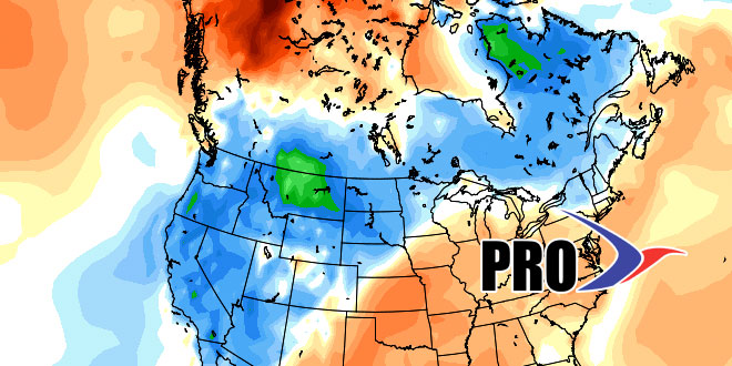
Temperature-wise, it will average near normal in Southern New England over the next two weeks. The pattern looks a lot like September when cold fronts would be replaced by high pressure from Canada offering fair, dry weather. There will be more chilly nights and mostly sunny, cool days between fronts.


