Columbus Day began with the coolest morning in the Providence area since mid-May. The temperature dipped to 38° at TF Green Airport, and it fell below freezing in some of the protected valleys of Southeastern New England. Plenty of bright sunshine on Monday afternoon helped to get the temperature into the low to mid 60s in most of RI, MA, and CT, making for a fine Columbus Day.
Skies cleared and the temperature plummeted last night. First 30s at TF Green in five months. http://t.co/O49c67DHIr pic.twitter.com/mIHH9co7FD
— Right Weather (@RightWeather) October 14, 2013
Tuesday morning will be cool, with lows ranging from the 30s in the countryside to the 40s in the cities and near the coast. Tuesday afternoon looks partly sunny and relatively mild. Highs will be in the mid to upper 60s inland, and in the low to mid 60s near the coast. Tuesday night looks partly cloudy with patchy fog. It will not be as chilly, with lows in the mid 40s to low 50s.

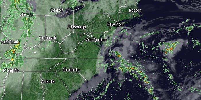
Wednesday will be a mostly cloudy and relatively mild day. We’ll be watching an offshore storm that may drift far enough northwest to bring showers to Eastern MA. The wind will be southeasterly with highs in the mid to upper 60s. The best chance of showers is in the afternoon. An approaching cold front will increase the odds of scattered showers Wednesday night. It will stay relatively mild at night, with lows in the 50s.
A passing shower is possible early Thursday before the sky becomes partly sunny around midday. Highs will be in the mid to upper 60s again. A fast-moving system will scoot through Southern New England Thursday night. There is the chance of showers late Thursday night into Friday morning. That system will be out of the picture by midday, and the afternoon looks dry and pleasant.
The early outlook for next weekend is for dry weather on Saturday, and a “wait and see” approach for Sunday. Saturday should be partly sunny and seasonable. A couple of jet stream disturbances may interact to bring rain on Sunday. The computer models have been back and forth on whether the “phasing” will occur, and it’s too early to commit to a totally wet or dry forecast. For now, the forecast is for partly cloudy skies with highs in the low 60s.


