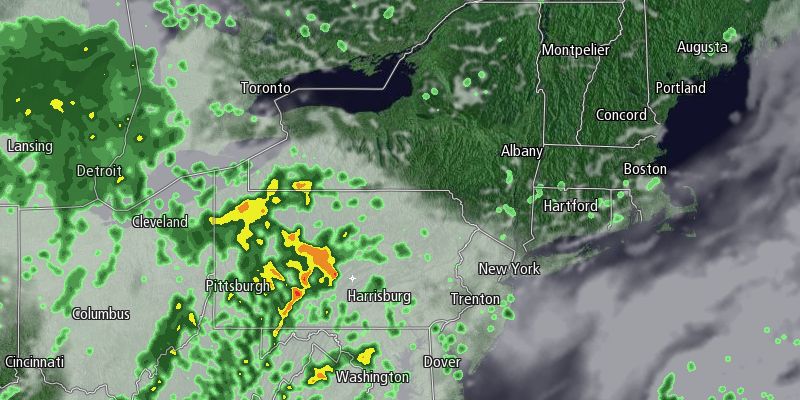
Thursday will begin with mostly cloudy skies and temperatures in the upper 40s to mid 50s. The clouds will thin somewhat by midday, and it will be very mild in the afternoon. Highs inland will be in the low 70s. Highs near the coast will be in the mid to upper 60s. There will be a 5-10 mph west-southwest breeze.
Clouds will thicken again Wednesday evening, with scattered showers arriving after sunset. The steadiest rain will likely be in Northern New England and interior Southern New England. RI and SE MA will likely see light, scattered showers.

The showers will be gone by dawn Friday, and it will be mostly sunny during the day. It will be yet another relatively warm day, with highs in the mid 60s to low 70s. Skies will stay clear Friday night, with lows in the mid to upper 40s. The weekend should be decent. Saturday will be mostly sunny through midday. Clouds will drift in during the afternoon. Highs will be in the mid 60s with a light breeze.
Two weather systems will scoot by Southern New England Saturday night. Right now, it looks like there will not be enough interaction between the systems for widespread rain, and the forecast is for the chance of a few passing showers Saturday night. Sunday will become mostly sunny and seasonable. Highs will be in the low 60s.
The weather will continue to be seasonable early next week before cooler weather arrives late in the week. Overall, the end of October is shaping up to be chilly in most of the Eastern United States.


