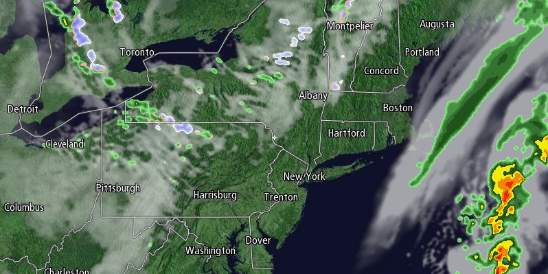
The dry weather pattern continues in Southern New England. It has turned cooler this week, but there is still a significant rainfall deficit for the past couple of months in most of Southern New England. After the chance of a few spotty showers Saturday night, there is no rain in the forecast for the end of the weekend or early next week. Clouds will clear early Sunday, and the day will start with temperatures in the low to mid 40s – considerably milder than Saturday morning. Sunday afternoon will be partly sunny and breezy, with highs in the mid to upper 50s. It should be a fine day for the Patriots-Dolphins game at Gillette Stadium.

Sunday night will be clear and cold, with lows ranging from the upper 20s to low 30s in the countryside to the mid to upper 30s in the cities and near the coast. The workweek will begin with a delightful day as the temperature bounces back into the mid to upper 50s with mostly sunny skies. There will be a westerly breeze near 10 mph – not as strong as it has been lately.
Monday night will also be seasonably cold. The temperature will range from the upper 20s to upper 30s under mainly clear skies. Tuesday looks bright and cool as high pressure slides from Central Canada through the Great Lakes to the Northeast. Highs will be in the upper 40s to low 50s.
The nights will continue to be cold through the midweek. Wednesday afternoon looks a bit cool, with highs in the upper 40s to low 50s. Scattered showers are possible Wednesday morning, followed by partly to mostly cloudy skies in the afternoon. Thursday will start cold, but a southwest breeze should help to warm the temperature to near 60 by mid to late afternoon. The early outlook for trick or treaters is for the temperature in the low to mid 50s under partly cloudy skies – not bad at all!
Much needed steady rain is in the forecast for late in the workweek and/or early next weekend. A large system out of the Great Plains should spread widespread rain into the Eastern United States Friday afternoon into Saturday. At this point, it is unclear if the system will pass Southern New England or continue bringing rain on Saturday. It will be very mild ahead of the system, with the temperature rising into the low to mid 60s on Friday. It will be windy ahead of the slow-moving system. Rain showers may continue during the day on Saturday.


