A strong cold front preceded by a line of gusty showers moved through Southern New England Monday night. The storms produced strong wind gusts that downed some trees and power lines in western New England. The line weakened as it moved into RI and SE MA after 7 pm Monday. Much drier weather is in the forecast for the middle of the week as high pressure moves in from the west.

Tuesday morning will feature clearing skies and lows in the low to mid 50s. It will be sunny and seasonable in the afternoon. Highs will be in the mid 60s with a 10 mph north breeze. The high pressure center moves into Northern New England Tuesday night. The temperature will tumble under clear skies into the upper 30s to mid 40s by dawn Wednesday.
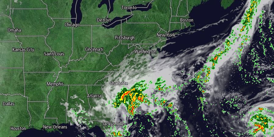
Wednesday looks like a delightful day. There will be plenty of sunshine, a 10-15 mph east-northeast breeze, and highs in the mid 60s. A few clouds will drift in from the south Wednesday evening as a developing storm in the Atlantic Ocean moves north toward the Southern New England coast. It will be cool Wednesday night. Lows will be in the low to mid 40s.
Clouds will continue thickening during the day on Thursday. Highs will be in the mid 60s. The storm may move far enough north to bring rain by sunset on Thursday. Rain showers are likely Thursday night and Friday. The showers may be accompanied by a gusty northeast breeze in Eastern MA. The temperature will fall into the 50s Thursday night and it will have difficulty climbing into the low 60s on Friday.
There is some uncertainty about the evolution of the storm as it meanders and wobbles around in the Atlantic Ocean. Our current forecast has it moving far enough south that most, if not all, of the Columbus Day weekend weather is dry in Southern New England. High pressure will nose back into the Northeast from Eastern Canada on Saturday. Look for clouds and sun Saturday and Sunday with highs in the 60s. Eventually the storm may drift north again bringing showers back to Southern New England. It could happen as soon as Monday afternoon.


