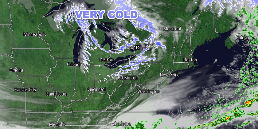
Saturday will be a transition day as much colder weather heads for New England. The high temperature will be in the low to mid 40s with partly to mostly sunny skies. An increasing northwesterly breeze will usher colder weather in late in the day. It will be brisk and cold Saturday night. Lows will be in the low to mid 20s Sunday morning.
Sunday looks like one of the colder late-November days on record in the Northeast. Record cold high temperatures are possible in Southern New England from Hartford to Providence to Boston. The temperature will hover in the mid to upper 20s most of the day. A gusty wind will make it feel even colder. Look for a 15-30 mph northwest breeze that drops wind chills into the single digits to mid teens. All this comes with a decent dose of sunshine!
It will be brutally cold at Gillette Stadium Sunday evening for the Patriots vs. Broncos. Wind chills will be in the single digits to low teens as the temperature falls below 20° by late in the evening. The low temperature in all of Southern New England Monday morning will be in the mid teens to low 20s. The breeze will make it feel even colder.
Monday looks like a dry and very cold day. Highs will be in the low to mid 30s with a lot of sunshine. It will not be as cold Monday night. The temperature will dip into the 20s Monday evening before leveling off after midnight. Clouds will increase Tuesday in advance of a storm that will likely bring mainly rain to Southern New England in the midweek.
Rain will develop late Tuesday as the storm moves up the Eastern Seaboard. Rain could be heavy at times late Tuesday night through Wednesday morning. The storm will track close enough to the coast that the precipitation will be rain for most or all of Southern New England. The temperature will be in the 40s to low 50s in Southeastern New England Wednesday morning. There will be an area of strong winds just to the east of the storm track. It is unclear if the storm’s center will pass over or east of Southern New England. If it passes over Southern New England, then the coast of RI and SE MA could see wind gusts over 40 mph Wednesday morning. Steady rain is expected to end by midday on Wednesday.
A second storm on the heels of the first system could clip RI and SE MA with more rain/snow Wednesday night. At this point, it looks like the system will move too far east to have a big impact. As it departs, cold weather will return for Thanksgiving and Black Friday. Thursday will be partly to mostly sunny, blustery, and chilly. Highs will be in the 30s. It will be in the teens to mid 20s early Friday morning, and the wind chill will make it feel about 10° colder. Friday afternoon will only be in the low to mid 30s, but at least it will be dry.


