The coldest weather since mid-February is heading for Southern New England for the second half of the weekend and early next week. Saturday was a decent day, with highs in the mid to upper 40s under partly to mostly sunny skies. The breeze made it feel a bit cooler, but nothing compared to what will be felt by dawn Sunday.
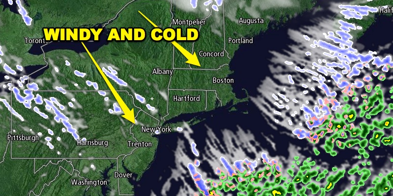
Northwest winds will increase to 15-25 mph Saturday night as bitter cold air moves from the Great Lakes to New England. Snow showers and squalls are possible as the cold air arrives. The temperature will drop into the low to mid 20s by dawn Sunday under partly cloudy skies. The temperature will most likely not make it out of the 20s in many spots on Sunday in spite of a decent dose of sunshine. The howling wind will make it feel even colder. Wind chills will be in the teens. There may be a record cold high temperature set at more than one place in Southern New England.

Sunday night will be the coldest of then season so far. Lows will be in the mid to upper teens inland, and near 20° at the coast. The wind will drop wind chills into the single digits. It will be bitter and brisk at Gillette Stadium for the Patriots-Broncos game.
The cold weather will stay around early next week. Highs will be in the low to mid 30s on Monday with mostly sunny skies. The wind should relax during the day. Monday night will be partly to mostly cloudy and not as cold. Lows will be in the mid to upper 20s.
The midweek forecast is tricky, and it will likely have an impact on many people who are traveling in the Eastern United States. The computer models are still all over the map with what may happen on a developing storm in the Southeastern United States. The Right Weather forecast is for clouds to thicken on Tuesday with rain developing Tuesday night. Highs will be in the 40s on Tuesday. Rain is likely from late Tuesday night through Wednesday as the storm tracks up the Eastern Seaboard. Highs will be in the 40s on Wednesday. The other possible scenario has the storm tracking a bit farther east and not bringing steady rain on Wednesday, but rather lighter rain/snow showers primarily to the coast. That is not the forecast that we are going with at this time. Stay with Right Weather for the latest on the storm.
Thanksgiving and Black Friday look dry and cold. It will likely be windy on Thanksgiving with highs in the low to mid 30s. The temperature may fall into the teens to low 20s by dawn Friday, with highs only in the 30s under sunshine on Friday afternoon.


