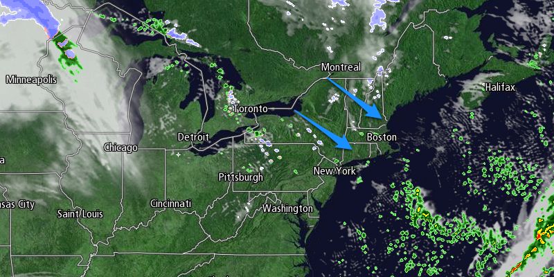
Beneficial rain fell in drought parched Southeastern New England on Thursday. Rain totals were between 0.25-1.00″, with the higher amounts near the coast of RI and SE MA. The system will move offshore Thursday evening, and drier, cooler weather is ahead for Friday and the weekend.
The sky will clear Thursday night, and the temperature will fall into the mid to upper 30s by dawn Friday. Friday looks mostly sunny, breezy, and cool, with highs in the mid to upper 40s and a 15-25 mph west-northwest breeze. Friday night will be partly cloudy to mainly clear and chilly. Lows will be in the upper 20s to low 30s Saturday morning.

The weekend looks dry and seasonably cool. Saturday will feature clouds and sunshine with highs near 50. A 10-15 mph west-southwest breeze will make it feel a bit cooler. Sunday will be partly cloudy with highs in the low to mid 50s as a weak cold front approaches. A much stronger cold front is in the forecast for early next week. Monday should be a decent day with some sunshine and highs in the low 50s.
An Arctic cold front will move through the Northeast Monday night. Scattered rain and snow showers are possible, and the temperature will drop from the 50s to the 30s in a few hours, and the wind will make it feel like the 20s by Tuesday morning. Tuesday will be mainly dry, but very cool. Highs will only be near 40°, and a gusty wind will keep the wind chill at or below freezing.
There are a lot of questions surrounding the forecast for the middle to latter part of next workweek. The potential exists for significant storm along the East Coast. It is still uncertain if the storm will develop and hug the coast bringing rain and wind or move well offshore leaving Southern New England dry and cold. We’ll continue to keep you updated. In any event, Wednesday looks like another very cool day with highs only in the upper 30s to low 40s.


