All of a sudden there are tons of things to talk about weather-wise. Super Typhoon Haiyan is the strongest storm I’ve ever seen. It may be the strongest in recorded world history. It was one year ago today that a very strong Nor’easter lashed the Mid-Atlantic and New England just 10 days after Sandy hit. There is also buzz about a potentially significant East Coast storm next week.
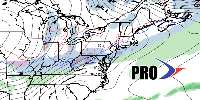
In the near-term, the weather will stay quiet through the weekend. An Arctic cold front will move through New England Monday night. That will bring the threat of rain/snow showers, and much colder weather for the midweek. The tail end of that front will stall in the Southeastern United States at the same time that moisture is drawn north from the Bahamas. With unseasonably cold air over the Eastern US, and unseasonably warm water over the Atlantic Ocean, the recipe is good for a storm to develop. At this point, it is very uncertain if the storm will hug the coast, pass just offshore, or pass well out to sea. We’ll continue to keep you updated on the Computer Model Trends. It looks like there is a pretty good chance of rain/wind in Southern New England between Wednesday PM and Friday AM.
Another system may follow a few days after that storm with the threat of rain late next weekend or early the following week. The weather will be rather cold compared to normal for the next week, but then settle back to near or slightly above normal between Nov 14-21. If the storm hits in the middle of next week, then we’ll likely see above normal precipitation over the two week stretch for the first time since Labor Day.


