Cold air will charge into Southern New England behind a strong cold front Tuesday morning. The colder weather was accompanied by rain and snow showers during the morning commute.
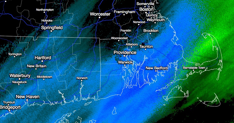
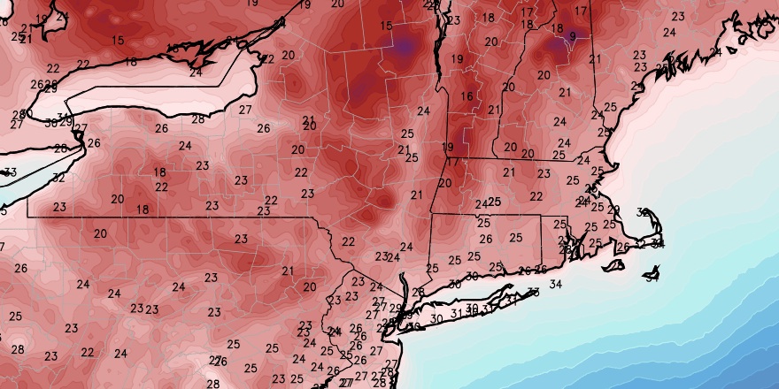
The threat of steady snow showers ends by midday, and it will be mostly cloudy, blustery and cold in the afternoon. The temperature will hover in the mid 30s, and wind chills will be in the low to mid 20s. Skies will clear Tuesday night, and the temperature will plummet into the low to mid 20s by dawn Wednesday. Wind chills will be in the teens Tuesday night.

The weather will be cold and quiet through the midweek. Wednesday afternoon should be mostly sunny, but the temperature will struggle to reach 40°. There will be a fresh 10-20 mph northwesterly breeze. It will fall into the 20s Wednesday night under clear skies with a diminishing wind.
A gradual warm-up is ahead for the late workweek into the weekend. Thursday will be partly cloudy with highs in the mid to upper 40s. It will break into the 50s on Friday afternoon with a blend of clouds and sun.
A weak disturbance will move through the Northeast on Saturday. Right now, it looks mainly dry with highs in the 50s. A few showers cannot be ruled out, and we’ll continue to fine tune the forecast as the week progresses. Sunday looks partly to mostly cloudy with highs in the 50s again.


