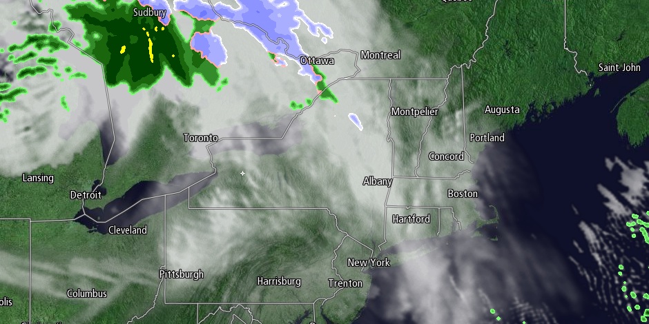
The pendulum swung back to chilly weather in Southern New England on Friday. The temperature struggled to reach 50° with a blend of clouds and sun. A gusty westerly breeze made it feel cooler. Interior Southern New England saw a few rain, snow, and mixed precipitation showers, but they dried up before reaching RI or SE MA.

The weekend will get off to a cold start Saturday morning. Lows will be in the mid 20s to low 30s under clear skies at dawn. Sunshine will prevail through midday before clouds roll in during the afternoon. It will be another breezy and cool day with highs in the mid to upper 40s. There will be a 10-15 mph west-southwest breeze. An Alberta Clipper storm system will pass through Northern New England Saturday night into Sunday. While snow showers fall in the Northern New England mountains, it will stay mainly dry in Southern New England.
Sunday looks a bit milder than Saturday. Lows will be in the upper 30s to low 40s, and the high should reach the low to mid 50s. The weather looks decent Sunday morning for the third annual Pell Bridge Run from Jamestown to Newport. The temperature will be in the mid 40s with partly cloudy skies. A west wind will pick up during the day to 15-25 mph. It will be a partly cloudy day, with the slight chance of a passing rain shower in the afternoon or early evening.
Next workweek will begin with decent weather. Monday looks like a seasonable mid-November day. Highs will be in the low to mid 50s under mostly sunny skies. A sharp cold front will move through New England Monday night into Tuesday. Rain and snow showers are possible as the front passes and introduces much colder weather for the midweek. The best chance of snow is Tuesday morning away from the coast. In a worst-case scenario snow squalls could briefly impact travel due to reduced visibility when the snow combines with gusty winds. Significant accumulations are not expected.
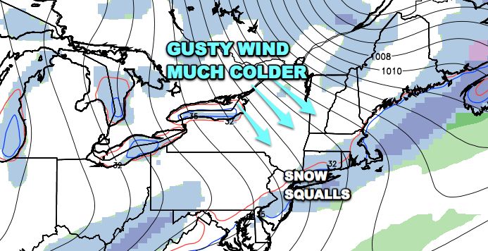
The storm threat for the middle of next week is just about off the table. High pressure will likely remain in control over the Northeast, and an unseasonable chill will last through the midweek. Lows will be in the 20s Wednesday through Friday mornings. Highs may not reach 40 on Wednesday, and it will be in the 40s on Thursday and Friday. Skies will be mainly clear to partly cloudy.


