There was a mid-December chill in the air on Saturday. Highs were only in the mid 40s with a gusty breeze. It will not be very cold Saturday night. Lows will be near 40° as a warm front approaches from the west. A few stray showers are possible late at night. Sunday looks partly cloudy and windy, with highs in the low to mid 50s. The breeze will kick up out of the west at 15-25 mph by midday. Once again, a brief, stray shower cannot be ruled out. The wind will stay active Sunday night as the temperature falls into the mid to upper 30s by early Monday morning.

Veterans Day will be decent in Southern New England. You can expect mostly sunny skies with highs in the low 50s. It will stay breezy for a while with a 10-20 mph west wind that diminishes to 5-10 mph by late in the day. A strong cold front will approach Southern New England late Monday night. The temperature will stay in the 40s most of the night, then drop into the 30s as the front passes Tuesday morning.
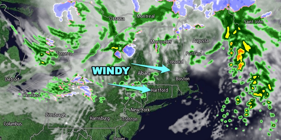
There is some very chilly weather heading for Southern New England in the midweek. Rain showers and snow squalls are likely as the colder air rushes in Tuesday morning. If the precipitation is in the form of snow, then travel may be briefly affected by the snow and gusty winds. Accumulations of less than an inch are expected. The threat of snow squalls ends early Tuesday afternoon. The temperature will continue falling through the 30s into the 20s by midnight. The wind will gust over 30 mph, and wind chills will be in the teens Tuesday night.
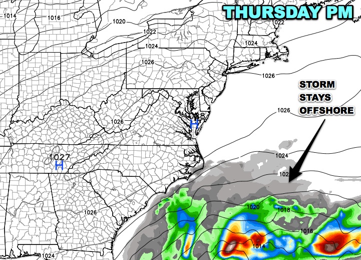
Lows will be in the low to mid 20s Wednesday morning. It will be the coldest morning of the season so far. High pressure will remain entrenched over the Northeast through the midweek, and a storm that develops in the Atlantic Ocean will stay well out to sea. Wednesday afternoon looks bright, brisk, and chilly. Highs will only be near 40. It will be very cold again Wednesday night.
A gradual warming trend is ahead for late in the workweek and into next weekend. Highs should reach the low to mid 40s on Thursday, and the upper 40s to low 50s on Friday. All the while, skies will be mainly clear.


