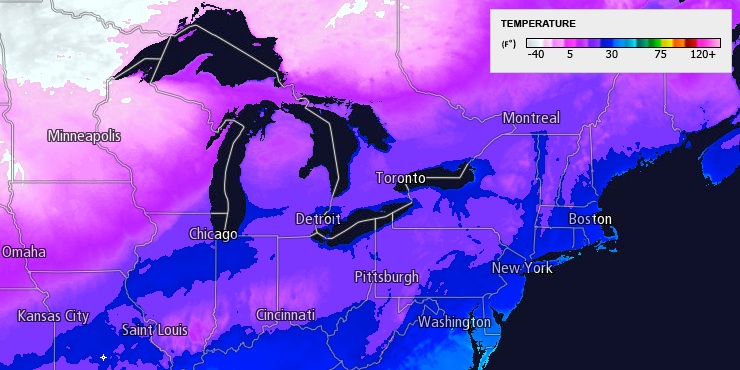
A weak weather system brought light to moderate snow to Southern New England on Tuesday. Most places picked up less than 2″ of snow, with the bulk of it accumulated on colder surfaces and not the pavement. Any slush or puddles will freeze Tuesday night as cold air moves in behind the storm. The sky will clear and the temperature will drop to the upper teens to mid 20s by dawn Wednesday. There will be a 10 mph westerly breeze to help dry the pavement overnight. Patchy black ice is possible Wednesday morning.

It will be very cold for the rest of the workweek. The weather will stay dry Wednesday through Friday, and there should be a decent amount of sun during the day. Unfortunately, there will be a fresh northwesterly breeze that continues to pump in cold air from Canada. The high temperature on Wednesday should reach the low 30s, but it will feel like the teens to 20s because of the wind chill. It will be in the teens to low 20s early Thursday, and only in the mid 20s (ouch) Thursday afternoon.
The low temperature Friday and Saturday morning will be in the teens, and the afternoon highs will be in the upper 20s Friday, and low 30s on Saturday. It will stay dry and partly cloudy to mainly clear into Saturday.

We are looking at a possible big-ticket storm this weekend in Southern New England. It’s still early, but the potential exists for a significant winter storm Saturday night into Sunday. The track of the storm is unclear, and we are not sure if the storm will bring all snow, mainly snow or mainly rain. It looks like a more intense storm than the past two weaker systems. In a worst-case scenario, there could be a full-blown Nor’easter in Southern New England. If you want track it very closely, join Right Weather Pro for the daily computer model trend updates on the storm.


