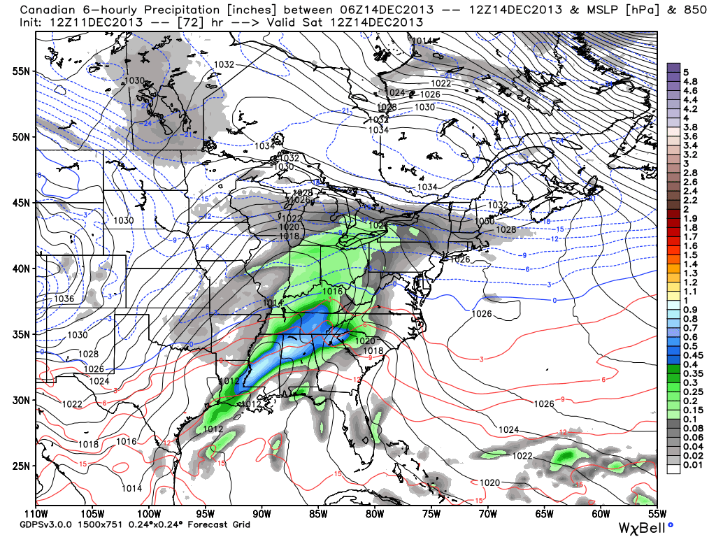
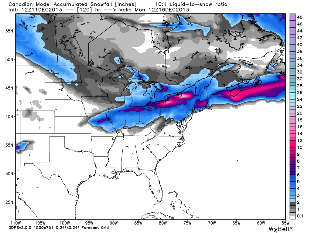
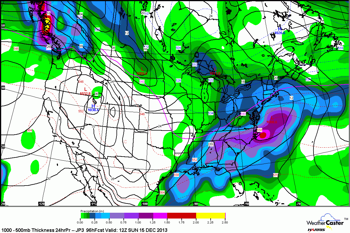
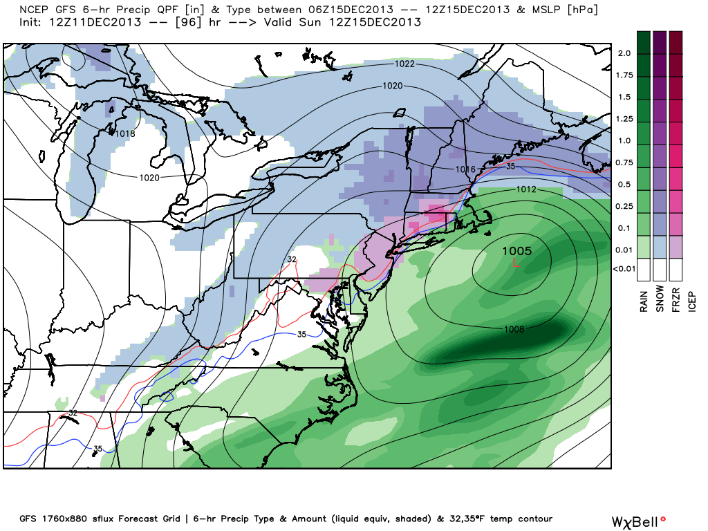
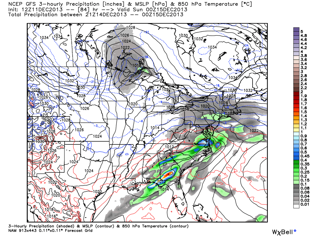
The computer model trend today is not a great one for those who like a big storm, but it is not necessarily all bad news for snow lovers. The trend is for a weaker system that does not dig as far south and move up the coast. The flatter storm system is not likely to be a huge snow producer, but it could lay down a light to moderate blanket in Southern New England. A less intense storm also has a lower likelihood of sucking in a lot of mild air, and there is a better chance of snow if the storm tracks south of SNE.
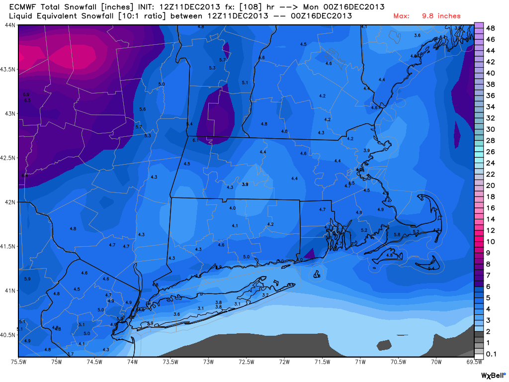
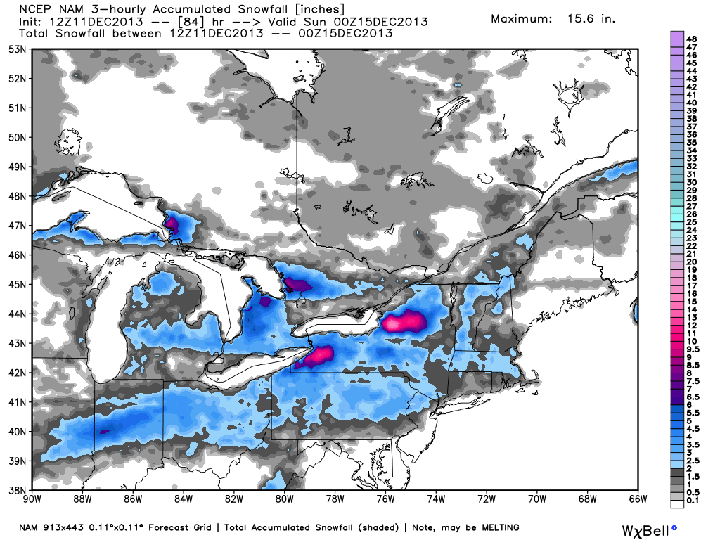
Yesterday’s computer models were calling for a foot or more of snow in the worst-case scenario for SNE. Today’s models are a more tame 3-9″, with most in the 4-5″ range.
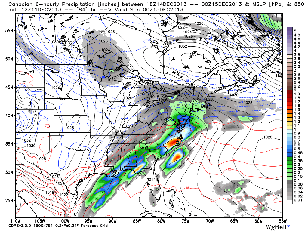
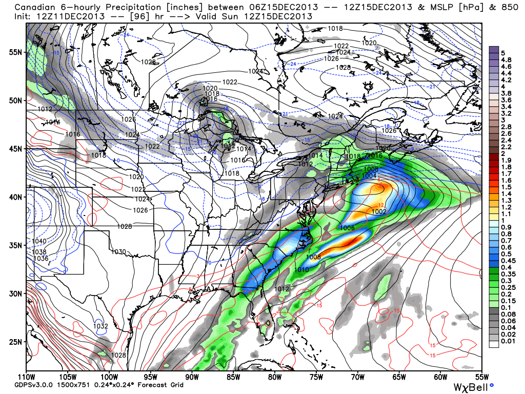
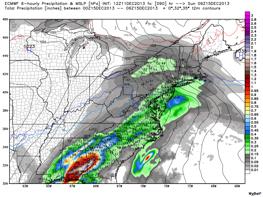
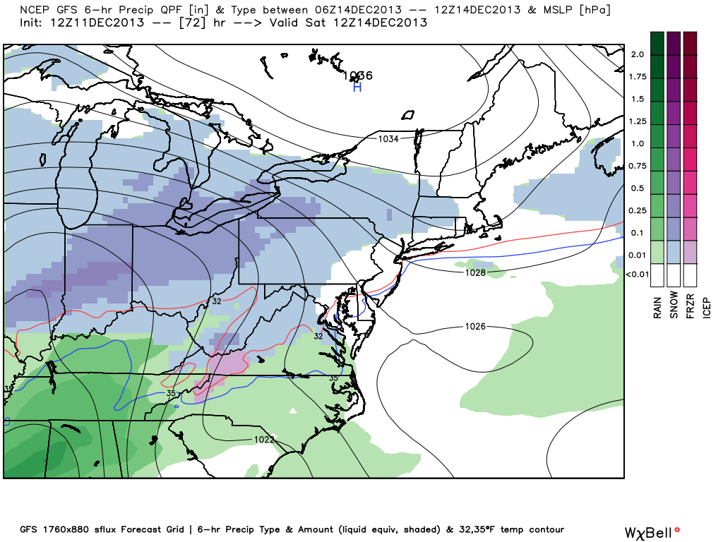
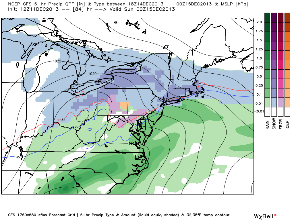
Another wrinkle in the forecast is the potential for light snow during the day on Saturday as an Arctic boundary hangs around. It is quite possible that some snow accumulates during the day. It should be plenty cold, with temperatures in the 20s. Most computer models warm the coast to 32-38° Saturday night, and precipitation-type could be an issue. However, the milder air may arrive after the initial thump of snow. There may not be much steady precipitation left when the milder air moves in.
The bottom-line is we’ve dialed back the blockbuster storm potential a bit based on the latest trends. However, it still looks like a plowable snow for most of SNE.
Check out the video and graphics.