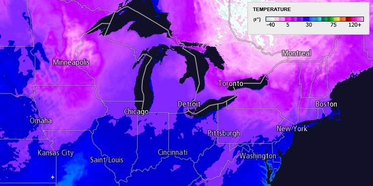
Santa Claus is comin’ to town, and he’s bringing a taste of the North Pole weather to Southern New England for Christmas Day. An Arctic cold front will move through on Christmas Eve, and the weather that follows in its wake will be bitter cold on Christmas Day. A few scattered snow showers or flurries are possible on Christmas Eve as the front moves through.
Short range model w/ a few snow showers in SNE on Christmas Eve. If correct, maybe a coating. http://t.co/70m9duNYv0 pic.twitter.com/pma08OGK8i
— Right Weather (@RightWeather) December 24, 2013
The temperature will drop from the mid 20s on Tuesday evening to the low to mid teens by Wednesday morning. Skies will clear after midnight. The wind chill on Christmas morning will be in the single digits. Christmas day looks bright and frigid, with highs only in the low to mid 20s. Sunshine will prevail through mid-afternoon before giving way to late-day clouds. The wind will relax to 5 mph or less.

A disturbance moving through on Thursday may kick off snow and rain showers in Southern New England. A southwesterly wind will help get the temperature to near 40 degrees, which favors rain showers near the coast. The cold air may hang on in NW RI and Worcester County, and an inch or so of snow cannot be ruled out. Skies will clear Thursday night as cold air returns by Friday morning.
Friday looks mostly sunny and seasonably cold. Lows will be in the low to mid 20s, and highs will be in the mid 30s. It will be milder and dry this weekend. Highs should be in the low 40s on Saturday, and it will be in the mid to upper 40s on Sunday. Both days will feature partly to mostly sunny skies. Enjoy it while it lasts because there is likely to be much colder weather for the end of December and early January.


