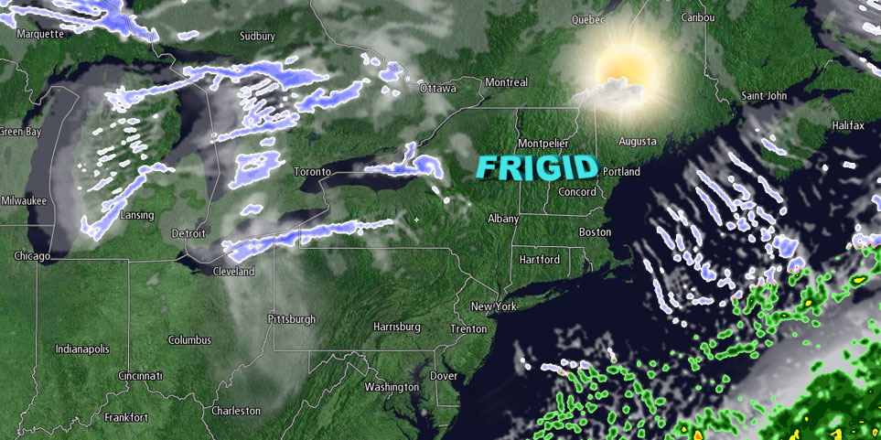
There was a chill in the air in Southern New England on Wednesday, and it will only get colder on Thursday. Skies will be partly cloudy Wednesday night with low temperatures ranging from the mid teens inland to the low 20s near the coast. There should be a decent amount of sunshine on Thursday, but it will be very ineffective. Highs will only be in the mid to upper 20s – the coldest afternoon since the day after the February blizzard. There will be a 10-15 mph northwest breeze that keeps the wind chills in the teens all day long.

More quiet and cold weather is ahead for the end of the workweek. Friday should be mostly sunny with highs in the upper 20s to low 30s after starting the day in the teens. Another surge of cold air will move in Friday night, and the temperature should fall into the teens by early Saturday morning.
Snow is likely this weekend. The threat of a blockbuster storm is lower than it was at this time yesterday, but a moderate snowstorm that produces several inches in all of Southern New England is the current most likely scenario. Light snow may develop on Saturday as temperatures slowly climb into the low to mid 20s. Any snow that falls will have an easier time sticking to the roads than the Tuesday snow because the surface temperature will be several degrees colder.
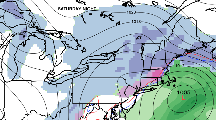
Snow may mix with sleet and rain near the coast Saturday night as the temperature rises a bit near the surface and aloft. It is likely to stay all snow in NW RI, interior CT, and central and western MA. The temperature will stay in the 20s in those locations, and the milder air aloft will stay to the south. Any precipitation will end Sunday morning as the storm moves away from the coast. It will be chilly on Sunday and Monday afternoon, with partly cloudy skies and highs in the low 30s.


